Pinetucky
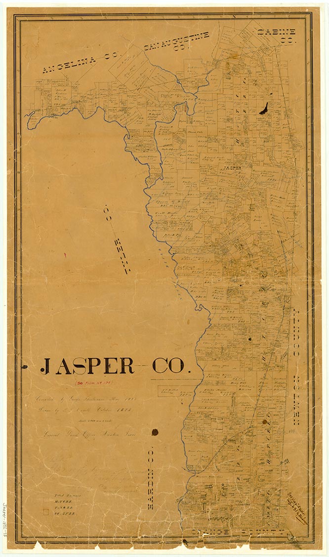
Magnolia Springs is on Farm Road 1005 and Wright Creek twelve miles south of Jasper in west central Jasper County. It was named for the springs and magnolia trees at the site. The area was first settled by Alexander and Sherod Wright, who arrived around 1824. A widely scattered settlement, known as Pinetucky, developed along a section of the Wiess Bluff-Jasper Road; the settlement began near Sherod Wright's homestead and ran to a point north of what is now the site of Magnolia Springs. The town name was changed to Magnolia Springs when a post office by that name was established in 1850; the office operated until 1866 and again after 1868. Farms gradually replaced the antebellum plantation system, and in 1882 the Texas Tram and Lumber Company moved its logging camp to the springs and floated logs down the Neches River from Wright's landing. In 1885 the community had a population of sixty, a grist and saw mill, a church, a general store, and a district school; at that time the town shipped cotton and timber. In 1894 the local lumber-camp personnel and installations were moved to Kirbyville, drawing major industry away, but by 1896 the population of Magnolia Springs had reached 100. After 1900, as businesses moved away from the creek, the alternate name of Pinetucky passed from usage. The community was largely disbanded by 1905, though the local schools still drew students from a wide area. That year there were three White schools with three teachers and ninety-seven pupils, and three Black schools with three teachers and 132 pupils. The cotton gin was discontinued in 1935, and the 1936 county highway map showed three churches, two schools, a factory, a cemetery, and a camp in the vicinity. The Horn Lumber Company operated a sawmill there from 1933 to 1946, when its installations were removed. The population at Magnolia Springs rose from fifty in 1925 to a high of 150 in 1946, when the community reported five businesses. The number of residents fell to eighty by 1950 and remained at that level until 1965, after which it was no longer recorded. In the 1980s the county highway map showed three churches, a post office, a grain elevator, and two cemeteries in the community. In 2000 the population was eighty.
Diana J. Kleiner | © TSHA
Adapted from the official Handbook of Texas, a state encyclopedia developed by Texas State Historical Association (TSHA). It is an authoritative source of trusted historical records.
- ✅ Adoption Status:
- This place is available for adoption! Available for adoption!
- Adopted by:
- Your name goes here
- Dedication Message:
- Your message goes here
Belongs to
Pinetucky is part of or belongs to the following places:
Currently Exists
No
Place type
Pinetucky is classified as a Town
Associated Names
- (Magnolia Springs)
Location
Latitude: 30.71705100Longitude: -94.03054400
Has Post Office
No
Is Incorporated
No