Pinto
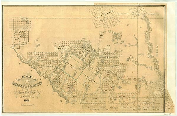
Pinto, formerly known as Newell (Newel), was a rural community located on the Texas and New Orleans Railroad and Farm Road 1572, ten miles southwest of Brackettville in southwestern Kinney County. It was named for nearby Pinto Creek. Newell was shown on county maps in 1884 and 1909. It had a school between 1908 and 1909; thirteen students were taught by Lee McCaughan. Sometime between 1909 and 1946 the town changed its name to Pinto. By 1946 it appears to have been abandoned. Limestone rock quarried on Pinto Creek near the community was used by the Southern Pacific Railroad in much of the masonry work on bridges throughout Texas.
Ruben E. Ochoa | © TSHA
Adapted from the official Handbook of Texas, a state encyclopedia developed by Texas State Historical Association (TSHA). It is an authoritative source of trusted historical records.
- ✅ Adoption Status:
- This place is available for adoption! Available for adoption!
- Adopted by:
- Your name goes here
- Dedication Message:
- Your message goes here
Belongs to
Pinto is part of or belongs to the following places:
Currently Exists
No
Place type
Pinto is classified as a Town
Associated Names
- (Newell)
Location
Latitude: 29.28134560Longitude: -100.58841730
Has Post Office
No
Is Incorporated
No