Pleasant Hill
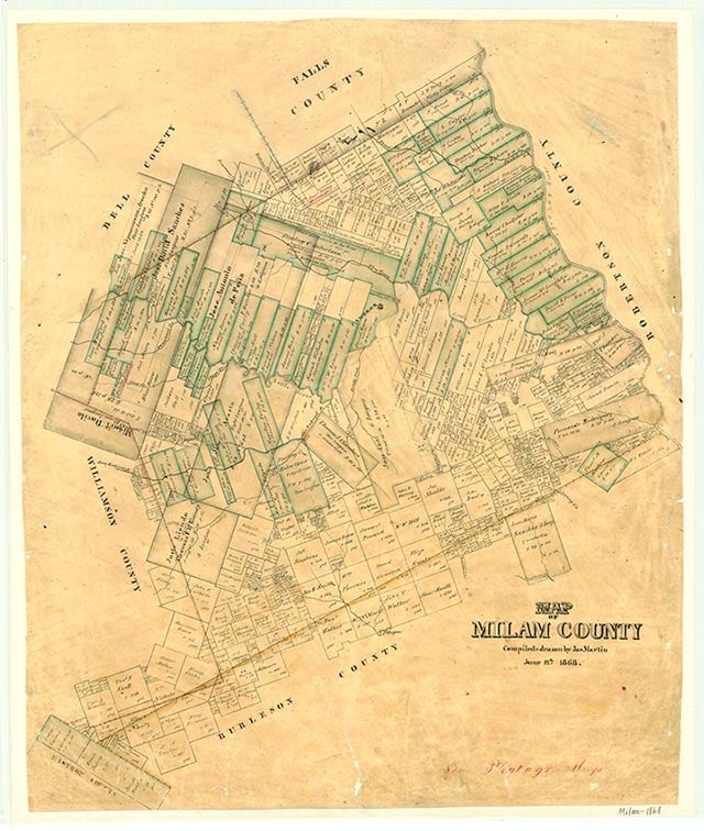
Pleasant Hill is a small mining community located in southern Milam County ten miles southeast of Rockdale and four miles west of U.S. Highway 77. It was established in 1882 and was reportedly named for its scenic beauty and for the friendliness of its early residents. Pleasant Hill was part of a Methodist circuit rider's route by the late 1890s. The community had a one-teacher school with twenty-six students in 1903. In the 1940s Pleasant Hill had a church, a school, a business, and a few scattered houses. The school was consolidated with the Rockdale Independent School District in 1949. A church, a community hall, and several mining operations marked the location of Pleasant Hill on county highway maps in 1988; no population estimates were available.
Vivian Elizabeth Smyrl | © TSHA
Adapted from the official Handbook of Texas, a state encyclopedia developed by Texas State Historical Association (TSHA). It is an authoritative source of trusted historical records.
- ✅ Adoption Status:
- This place is available for adoption! Available for adoption!
- Adopted by:
- Your name goes here
- Dedication Message:
- Your message goes here
Belongs to
Pleasant Hill is part of or belongs to the following places:
Currently Exists
No
Place type
Pleasant Hill is classified as a Town
Location
Latitude: 30.52992620Longitude: -97.07026510
Has Post Office
No
Is Incorporated
No