Pleasant Hill
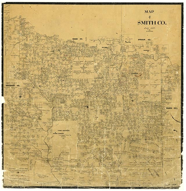
Pleasant Hill is a church community just south of Tyler on State Highway 110 and the Missouri Pacific line in central Smith County. Although little is known about early settlement, county records show a school with three teachers and 112 White students in 1903. The community was not identified on maps in 1936, but a church and cemetery were located in the vicinity. By 1952 Pleasant Hill School had been consolidated into Whitehouse Independent School District, which students still attended in 1969. In 1972 the site had Pleasant Hill Church, Meador Cemetery, and a few scattered farms. The next year it had the church, four businesses, and a cluster of dwellings. By 1985 Pleasant Hill was no longer listed on government survey maps.
Vista K. McCroskey | © TSHA
Adapted from the official Handbook of Texas, a state encyclopedia developed by Texas State Historical Association (TSHA). It is an authoritative source of trusted historical records.
- ✅ Adoption Status:
- This place is available for adoption! Available for adoption!
- Adopted by:
- Your name goes here
- Dedication Message:
- Your message goes here
Belongs to
Pleasant Hill is part of or belongs to the following places:
Currently Exists
No
Place type
Pleasant Hill is classified as a Town
Location
Latitude: 32.28098530Longitude: -95.24828280
Has Post Office
No
Is Incorporated
No