Port Alto
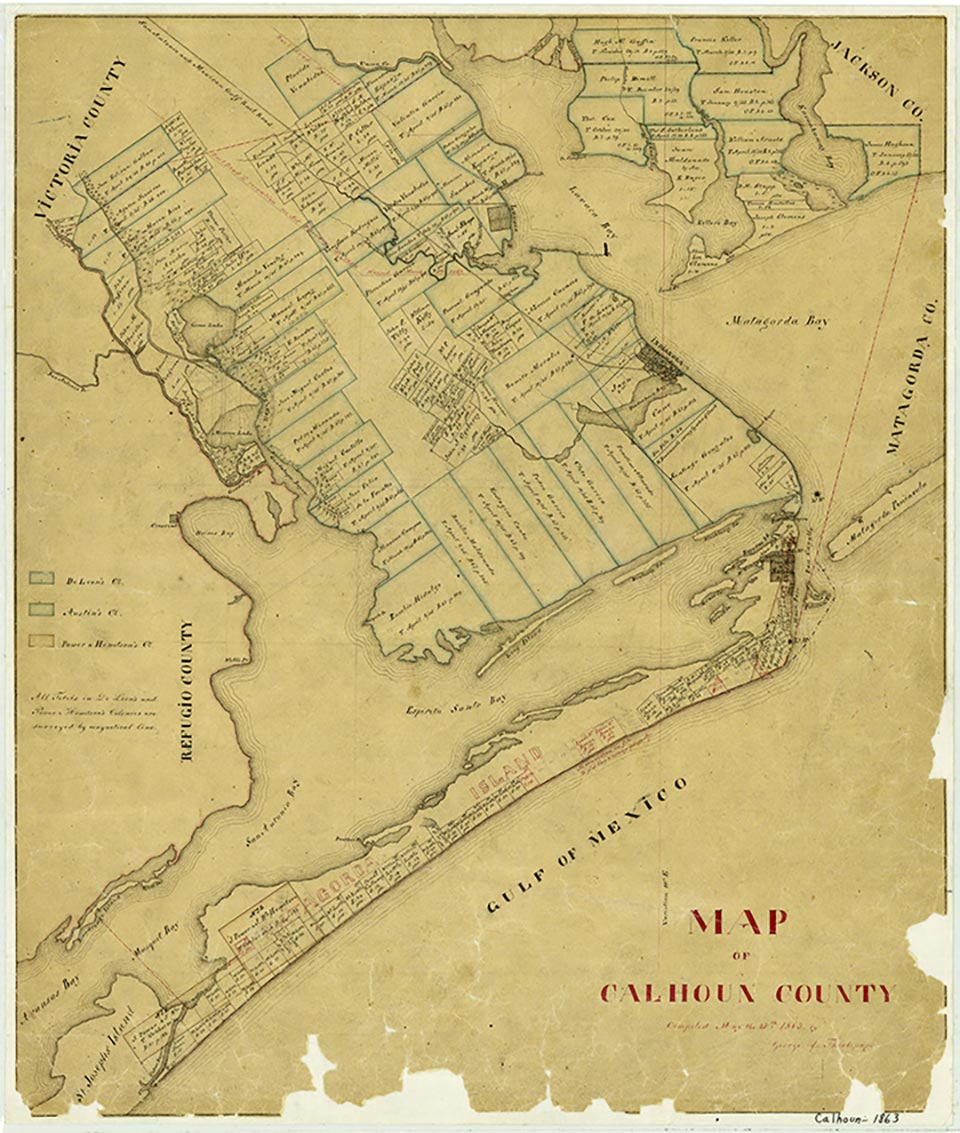
Port Alto, on the west shore of Carancahua Bay in northeastern Calhoun County, was known as Persimmon Point before its subdivision in 1939. Throughout its early history the community reported about ten permanent residents and one store. Vacationers and retirees increased the summer population to 205 in 1961, but the settlement was destroyed in September of that year by Hurricane Carla (see HURRICANES). The community was rebuilt by 1966, and the summer population numbered 185 that year. In 1970 the Port Alto telephone exchange had 170 listings, indicating a probable increase in total population, both permanent and seasonal. In the 1970s Port Alto had a row of dwellings along the beachfront. Port Alto was still listed as a community in 1990. In 2000 the population was forty-five.
| © TSHA
Adapted from the official Handbook of Texas, a state encyclopedia developed by Texas State Historical Association (TSHA). It is an authoritative source of trusted historical records.
- ✅ Adoption Status:
Belongs to
Port Alto is part of or belongs to the following places:
Currently Exists
Yes
Place type
Port Alto is classified as a Town
Associated Names
- (Persimmon Point)
Location
Latitude: 28.65999450Longitude: -96.41330570
Has Post Office
No
Is Incorporated
No
Population Count, 2009
45