Primrose
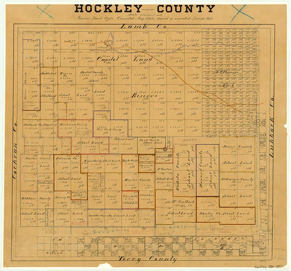
The Primrose school was one of the first schools in Hockley County. It was located a mile or two south of the site of present Ropesville in the southeast corner of the county. The school was built in 1909 and became the community center for the area. The Primrose school and community were named for the extensive patches of wild primrose that covered the prairie in the area. Most of the land in the south and west parts of Hockley County was granted by the state as school land to counties that were more fully developed. These counties sold the land for their own school purposes. A narrow strip of land on the south line of Hockley County was made available for homesteading in 1902. Jim Jarrott, a lawyer and surveyor, and twenty-six other families filed claims that year. Jarrott was killed in August in what is believed to have been cattlemen's hostilities against the new homesteaders. The influx of homestead or farm families led to the establishment of Primrose school, which operated until 1917, when the Ropesville Independent School District was organized. A. W. Blankenship and Walter G. Grazier became freighters for the settlers and nearby ranchers. The freighters usually drove four horses and pulled a trail wagon. A fee of sixty or sixty-five cents per hundredweight was the usual charge to deliver freight from Big Spring, which was the nearest rail point at that time. In 1917 the Santa Fe Railroad built a depot at the site that became Ropesville and subsequently caused the decline of Primrose. The community no longer appeared on highway maps in the 1930s.
Orville R. Watkins | © TSHA
Adapted from the official Handbook of Texas, a state encyclopedia developed by Texas State Historical Association (TSHA). It is an authoritative source of trusted historical records.
- ✅ Adoption Status:
Belongs to
Primrose is part of or belongs to the following places:
Currently Exists
No
Place type
Primrose is classified as a Town
Location
Latitude: 33.40332700Longitude: -102.16666000
Has Post Office
No
Is Incorporated
No