Pritchett
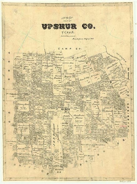
Pritchett, on State Highway 155 seven miles southwest of Gilmer in southwestern Upshur County, was established as a stop on the St. Louis Southwestern Railway when the railroad was constructed in the early 1890s. It was originally known as Lockhart's Switch, but when a post office was granted in 1893, it was renamed for John M. Pritchard, a local settler; mispronounced, the name came to be Pritchett. The town grew rapidly in the early 1890s, when many of the businesses from nearby Pleasant Hill moved to Pritchett to be on the railroad. At its height just before World War I, the town had a cotton gin, Baptist and Christian churches, a bank, several general stores, a blacksmith, and an estimated population of 600. During the 1920s, however, the town began to decline. By the mid-1930s it had a population of 245, two churches, a school, and five stores. The town continued to decline after World War II. The school was consolidated with the Gladewater school, and by the mid-1960s all that remained were two churches and a few scattered houses. In 1990 Pritchett was a dispersed community of 125. The population remained the same in 2000.
Christopher Long | © TSHA
Adapted from the official Handbook of Texas, a state encyclopedia developed by Texas State Historical Association (TSHA). It is an authoritative source of trusted historical records.
- ✅ Adoption Status:
- This place is available for adoption! Available for adoption!
- Adopted by:
- Your name goes here
- Dedication Message:
- Your message goes here
Belongs to
Pritchett is part of or belongs to the following places:
Currently Exists
Yes
Place type
Pritchett is classified as a Town
Associated Names
- (Lockhart's Switch)
Location
Latitude: 32.66180490Longitude: -95.01855170
Has Post Office
No
Is Incorporated
No
Population Count, 2009
125