Ramirena
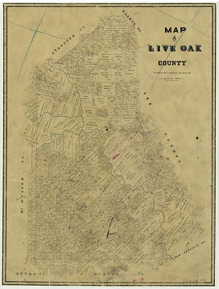
Ramireña, also known as Ramirena and La Posta, was fourteen miles southeast of George West and just east of Clegg in southern Live Oak County. The community was probably named for nearby Ramirena Creek, which in turn took its name from two Spanish brothers named Ramirez who operated a ranch in the area until 1813. According to one account, the site was once known as La Posta because a stagecoach stand was located there. In 1879 a post office called Ramirena opened, and as late as 1901 the town was one of only five communities in Live Oak County shown on post office maps. At one time the community had a small store and a Methodist church, and during the early 1900s it had a school. Ramireña lost its post office in 1922, and it was no longer shown on the 1936 county highway map.
John Leffler | © TSHA
Adapted from the official Handbook of Texas, a state encyclopedia developed by Texas State Historical Association (TSHA). It is an authoritative source of trusted historical records.
- ✅ Adoption Status:
Belongs to
Ramirena is part of or belongs to the following places:
Currently Exists
No
Place type
Ramirena is classified as a Town
Associated Names
- (La Posta)
Location
Latitude: 28.12500990Longitude: -98.14861640
Has Post Office
No
Is Incorporated
No