Ramsey
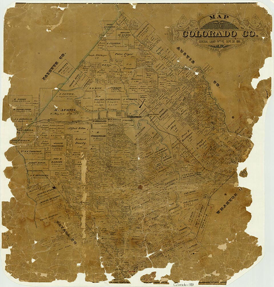
Ramsey, also known as Ramsey's Point, Nigh, and Ramseyville, is on Farm Road 102 and the Southern Pacific line six miles northwest of Eagle Lake in east central Colorado County. The community, possibly named for Martin D. Ramsey, an early settler in the area, was originally called Ramsey's Point. In 1883 the Ramsey's Point school served eighteen Black pupils. The community became a station on the San Antonio and Aransas Pass Railway in the late 1880s. By 1896 the town had the Ramsey White school with twenty-three pupils. When a post office was opened in the community in 1916, it was called Ramseyville; the office closed the next year. By the 1930s the town was once again designated Ramsey, and in 1939 it comprised a business and twenty inhabitants. In 1981 Ramsey consisted of a number of scattered dwellings, and in 1990 it was still named on state highway maps.
Mark Odintz | © TSHA
Adapted from the official Handbook of Texas, a state encyclopedia developed by Texas State Historical Association (TSHA). It is an authoritative source of trusted historical records.
- ✅ Adoption Status:
- This place is available for adoption! Available for adoption!
- Adopted by:
- Your name goes here
- Dedication Message:
- Your message goes here
Belongs to
Ramsey is part of or belongs to the following places:
Currently Exists
No
Place type
Ramsey is classified as a Town
Associated Names
- ['s Point]
- [-ville]
- (Nigh)
Location
Latitude: 29.65384780Longitude: -96.40135650
Has Post Office
No
Is Incorporated
No