Refuge
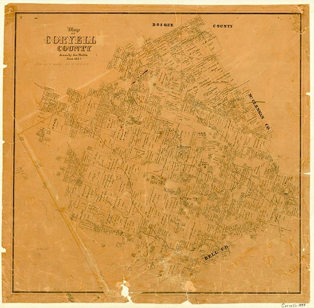
Refuge (Jackson's Crossing) was a small rural community built around the Refuge Baptist Church at the intersection of Table Rock Creek and the Old Georgetown Road in southern Coryell County. Little else is known about the community. Residents were forced to relocate when the Fort Cavazos military reservation was established in the early 1940s.
Continue Reading
Vivian Elizabeth Smyrl | © TSHA
Adapted from the official Handbook of Texas, a state encyclopedia developed by Texas State Historical Association (TSHA). It is an authoritative source of trusted historical records.
- ✅ Adoption Status:
Belongs to
Refuge is part of or belongs to the following places:
Currently Exists
No
Place type
Refuge is classified as a Town
Associated Names
- (Jackson's Crossing)
Location
Latitude: 31.24850290Longitude: -97.83780060
Has Post Office
No
Is Incorporated
No