Rice
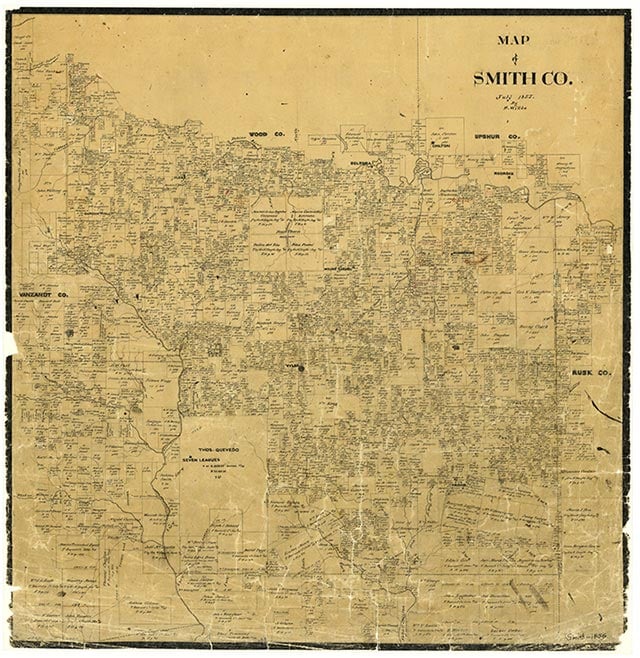
Rice is a small residential community on Old Bullard Road west of U.S. Highway 69 and just south of Tyler in central Smith County. There was no school in the area in 1903, but one had been constructed by 1918. That year the May, Porter, and Liberty educational systems were merged into the Rice school district. In 1936 153 White students attended the five-teacher school, but the 142 Black children of school age were not enrolled. The community at that time also had a business and a cluster of farms. By 1952 local schools had been consolidated into the Rice Independent School District, and in 1956 the Tyler Independent School District absorbed this system; the Rice School, however, was still shown on a 1973 map, which also showed two churches and a radio tower at the townsite. The 1981 county highway map did not name Rice, but showed a residential section at its site, right at the Tyler city limits.
Vista K. McCroskey | © TSHA
Adapted from the official Handbook of Texas, a state encyclopedia developed by Texas State Historical Association (TSHA). It is an authoritative source of trusted historical records.
- ✅ Adoption Status:
- This place is available for adoption! Available for adoption!
- Adopted by:
- Your name goes here
- Dedication Message:
- Your message goes here
Belongs to
Rice is part of or belongs to the following places:
Currently Exists
No
Place type
Rice is classified as a Town
Location
Latitude: 32.29320670Longitude: -95.30606240
Has Post Office
No
Is Incorporated
No