Rice's Crossing
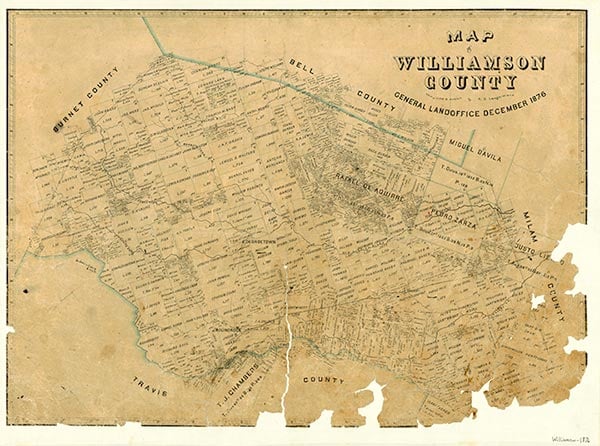
Rice's Crossing is on Brushy Creek at the intersection of Farm roads 973 and 1660, six miles southwest of Taylor in southeast Williamson County. It was settled by E. B. Barker, Willis Avery, and William McCutcheon in 1845 and was first called Blue Hill, for the color of the shale bank of Brushy Creek at the crossing. Blue Hill was granted the second post office in Williamson County in 1849. The post office was discontinued in 1857 and reopened in 1872 as Rice's Crossing. The new name came from James O. Rice, a Texas Ranger and an early settler in the area. In 1884 Rice's Crossing had 100 inhabitants, three churches, a school, and three gins and shipped cotton, oats, corn, and pecans. Eight years later the town had a population of 200, a hotel, a doctor, and a lawyer. The school at Rice's Crossing had forty pupils in 1903; it was consolidated with the Coupland and Taylor schools in 1950. The community declined in the early twentieth century, losing its post office in 1906 and falling to a population of twenty-five in 1933. From 1947 to 1990 the population was reported as 100.
Mark Odintz | © TSHA
Adapted from the official Handbook of Texas, a state encyclopedia developed by Texas State Historical Association (TSHA). It is an authoritative source of trusted historical records.
- ✅ Adoption Status:
- This place is available for adoption! Available for adoption!
- Adopted by:
- Your name goes here
- Dedication Message:
- Your message goes here
Belongs to
Rice's Crossing is part of or belongs to the following places:
Currently Exists
Yes
Place type
Rice's Crossing is classified as a Town
Associated Names
- [Rices Crossing]
- (Blue Hill)
- (Tompkins Store)
Location
Latitude: 30.47964730Longitude: -97.45833330
Has Post Office
No
Is Incorporated
No
Population Count, 2009
130