Roans Prairie

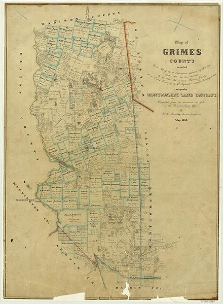
Roans Prairie is at the intersection of State highways 30 and 90, seventeen miles northeast of Navasota in central Grimes County. It was named for Willis I. Roan, who moved from Alabama to the vicinity of the headwaters of Rocky Creek about 1841. The area was first settled during the early 1830s, but it was not until the mid-1840s that a community began to develop. Roan, with a large contingent of slaves, constructed a substantial log house, opened a general merchandise store, and in 1849 became the settlement's first postmaster. A stage route from Huntsville to San Antonio passed through the town, and a stage depot was erected there. An early school, known as the Coon Ridge school, was established north of the settlement. A second school, at Oakland, was established one mile east of town on the lower floor of a two-story frame building; the local Baptist church, organized in 1854 as Oakland Baptist, used the building as a meetinghouse. The upper floor served as a Grange hall during the late 1870s.
In 1903 the International-Great Northern Railroad extended its Madisonville branch line through the community. The Smith Land and Improvement Company developed the site and renamed the town Steadmanville, but the name was soon changed back to Roans Prairie. In 1904 a new two-story frame schoolhouse was erected. The I&GN ran a spur to a rock quarry north of town, over which sand, gravel, and rock were hauled for the construction of the Galveston Seawall.
Charles Christopher Jackson | © TSHA

Adapted from the official Handbook of Texas, a state encyclopedia developed by Texas State Historical Association (TSHA). It is an authoritative source of trusted historical records.

- ✅ Adoption Status:
- This place is available for adoption! Available for adoption!
- Adopted by:
- Your name goes here
- Dedication Message:
- Your message goes here
Belongs to
Roans Prairie is part of or belongs to the following places:
Currently Exists
Yes
Place type
Roans Prairie is classified as a Town
Associated Names
- [Roan's]
- (Hadley's-)
- (Oakland Church)
- (Steadmanville)
Location
Latitude: 30.58436580Longitude: -95.94384160
Has Post Office
No
Is Incorporated
No
Population Count, 2009
64
