Rock Crusher
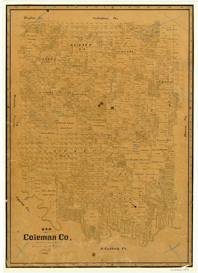
Rock Crusher was on the Atchison, Topeka and Santa Fe Railway near the Bachelor Prong of Hords Creek, eight miles northwest of Coleman in northwestern Coleman County. The community began in 1909, when the Santa Fe railroad built a rock crusher in the Purcell pasture to provide ballast for new railroad track. The Bachelor Prong of Hords Creek was dammed to form a small lake to provide water for the operation, and a pump station and a number of buildings were set up by the company to house the workers. The rock crusher was a large roller powered by a steam engine and housed in a tall building. Wagons pulled by mules carried the crushed rock to the railroad siding. The operation required hundreds of workers who lived either in company houses or in a collection of tents and private homes. John Saunders of Coleman built a store at the site in 1912. The Rock Crusher post office operated from 1912 to 1914, at which time the community had an estimated population of 400, two general stores, and a cotton gin. In 1916 three neighboring schools, Silver Valley, Mount View, and White Chapel, were combined for a year to form the Rock Crusher school district. After the demand for railroad ballast dropped off, the company provided ballast for Coleman county roads in the 1920s and 1930s. In 1933 the community had 150 inhabitants and one business. Sometime during the 1930s the company tore down the rock crusher, leaving a large hole in the ground, and in 1939 Rock Crusher had a population of twenty-five, one business, and scattered dwellings. By the early 1960s the site was deserted, and the lake had silted up.
Mark Odintz | © TSHA
Adapted from the official Handbook of Texas, a state encyclopedia developed by Texas State Historical Association (TSHA). It is an authoritative source of trusted historical records.
- ✅ Adoption Status:
- This place is available for adoption! Available for adoption!
- Adopted by:
- Your name goes here
- Dedication Message:
- Your message goes here
Belongs to
Rock Crusher is part of or belongs to the following places:
Currently Exists
No
Place type
Rock Crusher is classified as a Town
Associated Names
- (Hasslers)
Location
Latitude: 31.84886000Longitude: -99.47140800
Has Post Office
No
Is Incorporated
No