San Lorenzo
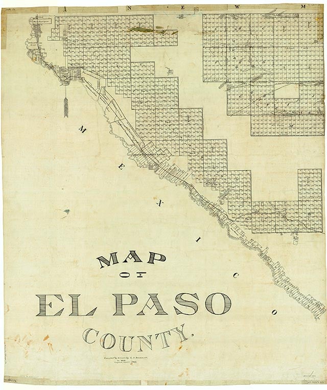
San Lorenzo was located in what is now southeastern El Paso, in southwestern El Paso County. Its origins date to September 1680, when Spanish and Indian refugees fleeing the New Mexico Pueblo Revolt settled in the El Paso area. By October 9, 1680, they had established a camp at San Lorenzo, where Governor Antonio de Otermín established his residence. In the early eighteenth century San Lorenzo developed into a prosperous agricultural community, and by 1750 the population consisted of 150 Suma Indians and a like number of Spanish. In February 1751 the mission lands that had been in the hands of the Franciscans were assigned to the Indians, but by 1754 the Sumas had revolted against Spanish authority. In 1760 the population of San Lorenzo consisted of 192 Spanish and only fifty-eight Indians. The community still existed in the 1860s but was no longer shown on maps of the 1940s, having been superseded by the community of Ascarate, which was later absorbed by the city of El Paso.
Martin Donell Kohout | © TSHA
Adapted from the official Handbook of Texas, a state encyclopedia developed by Texas State Historical Association (TSHA). It is an authoritative source of trusted historical records.
- ✅ Adoption Status:
- This place is available for adoption! Available for adoption!
- Adopted by:
- Your name goes here
- Dedication Message:
- Your message goes here
Belongs to
San Lorenzo is part of or belongs to the following places:
Currently Exists
No
Place type
San Lorenzo is classified as a Town
Associated Names
- (Ascarate)
Location
Latitude: 31.59483700Longitude: -106.20636680
Has Post Office
No
Is Incorporated
No