San Pedro
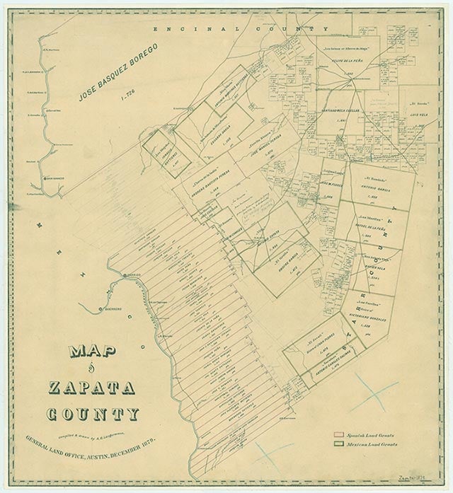
San Pedro was near Lopeño on old U.S. Highway 83 and the Rio Grande in southeastern Zapata County. Together with San José, Santa Fé and El Tigre, it was part of the Lopeño community. Six areas-San Ygnacio, Zapata, Ramireño, Uribeño, Lopeño, and Falcón-were threatened with evacuation at the completion of Falcon Dam in 1953, although their land and improvements had not been paid for. Residents were forced by rising water to move, and the five Lopeño communities moved to the new Lopeño location, seven miles west of the Starr-Zapata county line on new U.S. Highway 83. San Pedro, San José, Santa Fé, and El Tigre no longer exist, having faded into the new Lopeño. San Ygnacio avoided being condemned and still exists in its original position on the upper river. Uribeño residents moved to the new Zapata or elsewhere, and Uribeño no longer exists; the others moved to locations on new U.S. Highway 83. Throughout the first half of the twentieth century the population of San Pedro remained around twenty-five.
Dick D. Heller, Jr. | © TSHA
Adapted from the official Handbook of Texas, a state encyclopedia developed by Texas State Historical Association (TSHA). It is an authoritative source of trusted historical records.
- ✅ Adoption Status:
Belongs to
San Pedro is part of or belongs to the following places:
Currently Exists
No
Place type
San Pedro is classified as a Town
Associated Names
- (Lopeño)
Has Post Office
No
Is Incorporated
No