Sand Ridge
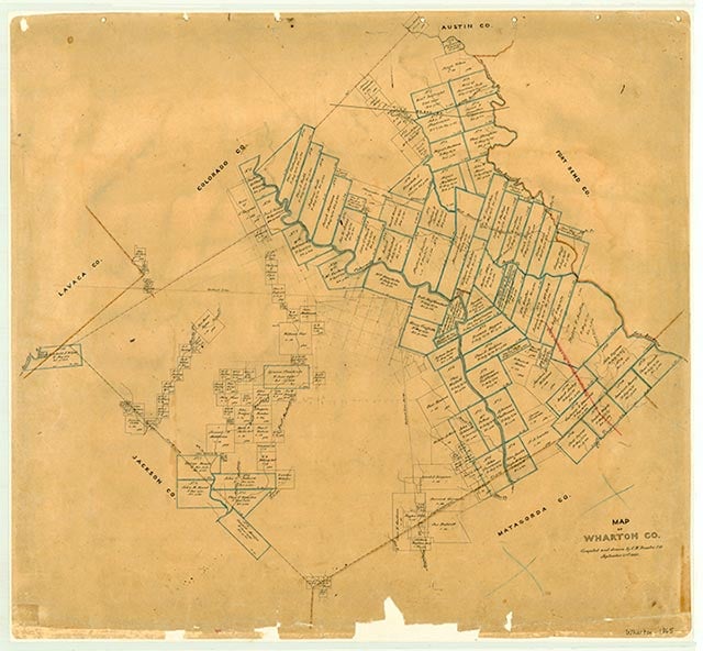
Sand Ridge is on Peach Creek, Farm Road 102, and the Atchison, Topeka and Santa Fe Railway, ten miles north of Wharton in north central Wharton County. In 1905 the local school had fifty black pupils and one teacher. State highway maps in 1936 showed two churches, a cemetery, and scattered dwellings at the townsite. In the 1980s two cemeteries, the New Colorado Tabernacle and a neighboring church, a single building, and several dwellings remained. In 1992 the rail line was discontinued; the tracks, ties, and gravel rail bed were removed and the right-of-way sold or returned to the contingent landowners.
Diana J. Kleiner | © TSHA
Adapted from the official Handbook of Texas, a state encyclopedia developed by Texas State Historical Association (TSHA). It is an authoritative source of trusted historical records.
- ✅ Adoption Status:
- This place is available for adoption! Available for adoption!
- Adopted by:
- Your name goes here
- Dedication Message:
- Your message goes here
Belongs to
Sand Ridge is part of or belongs to the following places:
Currently Exists
No
Place type
Sand Ridge is classified as a Town
Location
Latitude: 29.41830060Longitude: -96.25218590
Has Post Office
No
Is Incorporated
No