Sandy Creek
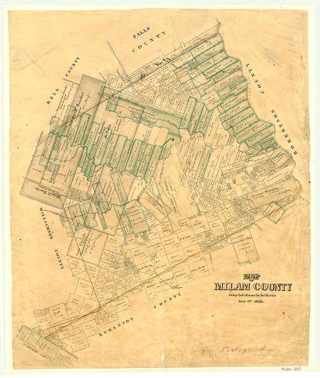
Sandy Creek, a rural community near U.S. Highway 79 four miles west of Milano in southeastern Milam County, was named after a nearby stream. In 1869 the Sandy Creek Baptist Church acquired land in the José Leal survey. Sandy Creek became a voting precinct in 1892, and in 1903 the community had a two-teacher school with sixty-two students. The school was consolidated with the Milano Independent School District in 1931. A church and a cemetery marked the location of Sandy Creek on the 1988 county highway map.
Vivian Elizabeth Smyrl | © TSHA
Adapted from the official Handbook of Texas, a state encyclopedia developed by Texas State Historical Association (TSHA). It is an authoritative source of trusted historical records.
- ✅ Adoption Status:
- This place is available for adoption! Available for adoption!
- Adopted by:
- Your name goes here
- Dedication Message:
- Your message goes here
Belongs to
Sandy Creek is part of or belongs to the following places:
Currently Exists
No
Place type
Sandy Creek is classified as a Town
Location
Latitude: 30.68741860Longitude: -96.93053860
Has Post Office
No
Is Incorporated
No