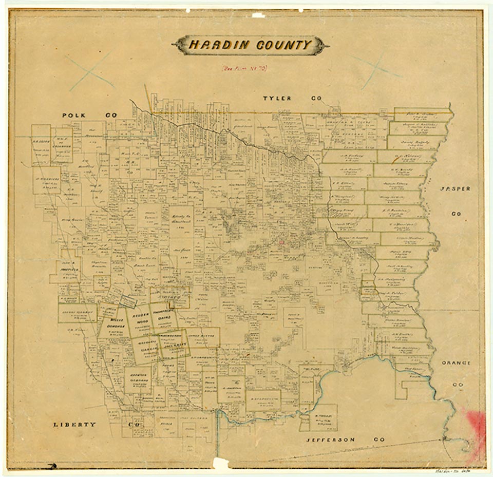
Saratoga
Saratoga is at the junction of State Highway 105 and Farm Road 770, thirty-eight miles northwest of Beaumont in west central Hardin County. One of the earliest Anglo settlers in the area, J. F. Cotton, discovered a spring at the site during the 1850s. By the 1880s P. S. Watts had begun promoting the spring's medicinal value and had established a hotel, cottages, and campsites to serve visitors. The settlement's name was changed from New Sour Lake or Friendship to Saratoga, after the New York health resort. The Saratoga post office began operation in 1884. Saratoga became most noted, however, not for its waters but for another underground resource-oil. Cotton drilled test wells in 1865, although he and a partner abandoned their efforts because of inadequate machinery. In 1887 a small producing well was brought in, although large-scale drilling did not begin until 1901, when the first of a number of commercially successful wells at Saratoga was drilled. Eager to capitalize on the area's resulting growth, the Saratoga Townsite Company platted a townsite in 1903. The following year a branch of the Gulf, Colorado and Santa Fe Railway was completed from Bragg to Saratoga, thus providing the area's oil and timber resources with a rail link. Saratoga, although transformed completely by the oil and lumber industries, apparently never underwent the extent of lawlessness experienced by some neighboring boomtowns such as Batson. Although the railroad was abandoned in 1934, nearby oil and gas reserves, bolstered by secondary recovery efforts and new wells drilled in 1953–54 and 1979–82, have continued to be profitable. The 1901 well alone had produced over 49 million barrels of crude oil by 1984.
Lumber continues to contribute to the local economy. In addition, the town became a center for meetings leading to the establishment of the Big Thicket National Preserve during the 1960s. The population of Saratoga, estimated at 1,000 in 1925, fell to 350 by the early 1950s. It again reached the 1,000 mark twenty years later. Residents commonly refer to three sections of the community: Old Town, near the original springs; New Saratoga, closer to the oilfields; and Depot Town, clustered around the old railroad terminus. In 1990 and again in 2000 the population was 1,000.
Robert Wooster | © TSHA
Adapted from the official Handbook of Texas, a state encyclopedia developed by Texas State Historical Association (TSHA). It is an authoritative source of trusted historical records.
- ✅ Adoption Status:
- This place is available for adoption! Available for adoption!
- Adopted by:
- Your name goes here
- Dedication Message:
- Your message goes here
Belongs to
Saratoga is part of or belongs to the following places:
Currently Exists
Yes
Place type
Saratoga is classified as a Town
Associated Names
- (Friendship)
- (New Sour Lake)
Location
Latitude: 30.28409820Longitude: -94.52936220
Has Post Office
Yes
Is Incorporated
No
Population Count, 2014
1,000