Security
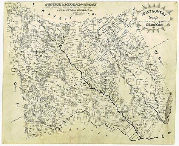
Security was on the Gulf, Colorado and Santa Fe Railway thirteen miles east of Conroe in eastern Montgomery County. Although settlement in the vicinity began in the mid-nineteenth century, Security was not formed until after 1889, when the GC&SF completed its branch line from Conroe to Cleveland across eastern Montgomery County. Around 1900 a lumber boom in this heavily wooded region brought an influx of settlers. By 1900 the community had a post office known as Pocahontas. In 1902 the name was changed to Bennette, in honor of J. O. H. Bennette, on whose property the town developed. Bennette sold his holdings to the Security Land Company in 1907, and the post office closed. In 1910 a new post office was established under the name Security.
In 1914 the schools at nearby Timber and White Oak were consolidated into the Security common school. By that date the community had a depot, a sawmill, a cotton gin, two gristmills, two grocery stores, a general store, a hotel, and a population of 150. In the late 1920s the Security school was merged into the Splendora Consolidated School District.
Charles Christopher Jackson | © TSHA
Adapted from the official Handbook of Texas, a state encyclopedia developed by Texas State Historical Association (TSHA). It is an authoritative source of trusted historical records.
- ✅ Adoption Status:
- This place is available for adoption! Available for adoption!
- Adopted by:
- Your name goes here
- Dedication Message:
- Your message goes here
Belongs to
Security is part of or belongs to the following places:
Currently Exists
Yes
Place type
Security is classified as a Town
Associated Names
- (Bennette)
- (Pocahontas)
- (Sumatra)
Location
Latitude: 30.32798830Longitude: -95.23938050
Has Post Office
No
Is Incorporated
No
Population Count, 2009
200