Shackelford County

Shackelford County, Texas

Shackelford County, Texas
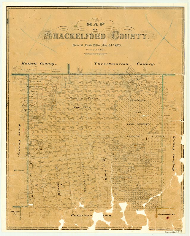
Shackelford County occupies 887 square miles of north central West Texas. The county seat, Albany, lies nearly in the center of the county, at 32°44' north latitude and 99°18' west longitude, about thirty-five miles northeast of Abilene. At an altitude ranging from 1,200 to 2,000 feet, the county lies on surface rock of Permian limestone, covered by two to fourteen inches of loamy clay topsoil. The northwest corner contains a strip of vegetation-locked blow sand one mile wide and twenty-five miles long. The eastern part of the county belongs to the Cross Timbers geographic region, and the western portion to the Lower Plains. The Clear Fork of the Brazos River crosses the northwest corner of the county, flowing northeast into Throckmorton County, then reentering at the northeast corner and exiting southeast into Stephens County. A number of Shackelford County creeks are tributaries of the Clear Fork. Temperature extremes range from an average January minimum of 31° F to an average maximum of 97°. The mean annual temperature is about 64°, and the annual rainfall averages 26.57 inches. The growing season is 224 days long. Originally open prairie, Shackelford County now consists predominantly of mesquite and chaparral savanna. Along the river and the creeks, pecan, elm, cottonwood, and hackberry trees mingle with mulberry and willow. Prickly pear and other cacti are common in the prairie sections. The land and its waterways also support populations of white-tailed deer, bobcats, opossums, raccoons, and smaller mammals. Great blue herons and kingfishers fish the streams; wild turkeys, roadrunners, and a variety of songbirds inhabit the uplands.
Athabascan Apaches once lived on the game in this area but were driven out by the Comanches, who controlled the region until Whites began to settle there in the middle to late nineteenth century. In 1788 a Spanish expedition led by José Mares may have touched the southwest corner of the county, but the first real explorer of the region was Capt. Randolph B. Marcy, who investigated the area for the United States Army. The first White man to settle in Shackelford County was probably Jesse Stem, an Indian agent who established a farm in 1852 on the Clear Fork six miles downstream from the site of present Lueders. Two years after Stem arrived Captain Marcy looked over the area and suggested to the War Department that a fort be built on the Clear Fork. The establishment of a cordon of such protective frontier forts, including Camp Cooper just north of Shackelford County in Throckmorton County, brought the first influx of White settlers into Shackelford County. Jesse Stem made the first attempt at agriculture in Shackelford County in 1853 by raising a good crop of corn and oats, which he sold at Fort Belknap in Young County. C. C. Cooper and John C. Lynch established ranches in Shackelford County, and in 1861, with employees and their families, established a fortified settlement that they called Fort Hubbard. Two years later W. H. Ledbetter-later the first judge of Shackelford County-began manufacturing salt by evaporating water of the Salt Prong of Hubbard Creek. In 1867 Joe Matthews settled on the Clear Fork in northeastern Shackelford County, about two miles downstream from where Fort Griffin was established the same year.
Frank Beesley | © TSHA
Adapted from the official Handbook of Texas, a state encyclopedia developed by Texas State Historical Association (TSHA). It is an authoritative source of trusted historical records.
- ✅ Adoption Status:
- This place is available for adoption! Available for adoption!
- Adopted by:
- Your name goes here
- Dedication Message:
- Your message goes here
Currently Exists
Yes
Place type
Shackelford County is classified as a County
Altitude Range
1150 ft – 2000 ft
Size
Land area does not include water surface area, whereas total area does
- Land Area: 914.3 mi²
- Total Area: 915.6 mi²
Temperature
January mean minimum:
30.2°F
July mean maximum:
94.4°F
Rainfall, 2019
28.4 inches
Population Count, 2019
3,265
Civilian Labor Count, 2019
1,780
Unemployment, 2019
6.3%
Property Values, 2019
$1,306,663,386 USD
Per-Capita Income, 2019
$130,461 USD
Retail Sales, 2019
$18,547,233 USD
Wages, 2019
$20,907,695 USD
County Map of Texas
Shackelford County
- Shackelford County
Places of Shackelford County
| Place | Type | Population (Year/Source) | Currently Exists |
|---|---|---|---|
| Town | – | – | |
| Town | 1,927 (2021) | Yes | |
| Town | – | – | |
| Town | – | – | |
| Town | – | – | |
| Town | – | – | |
| Town | – | – | |
| Town | – | – | |
| Town | – | – | |
| Town | – | – | |
| Town | – | – | |
| Town | 236 (2021) | Yes | |
| Town | – | – | |
| Town | – | – | |
| Town | – | – | |
| Town | – | – | |
| Town | – | – | |
| Town | – | – | |
| Town | – | – | |
| Town | – | – |
Proud to call Texas home?
Put your name on the town, county, or lake of your choice.
Search Places »