Shady Grove
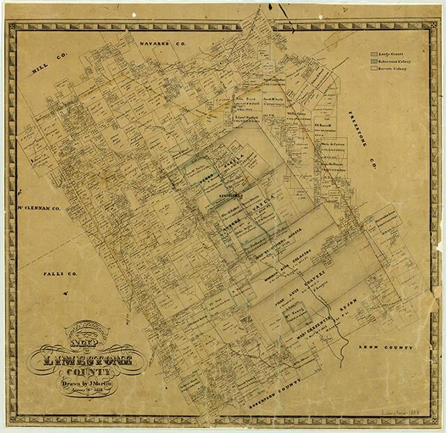
Doyle, five miles northeast of Groesbeck in east central Limestone County, was known as Shady Grove when the Houston and Texas Central Railway established the town in 1871; when the post office opened in 1903, it was renamed Doyle, in honor of William Elliott Doyle, a former mayor of Mexia. In 1914 the community had a grocery store and a general store. The post office was discontinued in 1923, and mail for Doyle residents was sent to Groesbeck. County highway maps in the late 1940s showed a church, a business, and a number of residences at the site. Doyle reported a population of ten in 1990. The population grew to fifty by 2000.
Vivian Elizabeth Smyrl | © TSHA
Adapted from the official Handbook of Texas, a state encyclopedia developed by Texas State Historical Association (TSHA). It is an authoritative source of trusted historical records.
- ✅ Adoption Status:
- This place is available for adoption! Available for adoption!
- Adopted by:
- Your name goes here
- Dedication Message:
- Your message goes here
Belongs to
Shady Grove is part of or belongs to the following places:
Currently Exists
No
Place type
Shady Grove is classified as a Town
Associated Names
- (Doyle 1)
Location
Latitude: 31.28517820Longitude: -96.58192080
Has Post Office
No
Is Incorporated
No