Shaws Bend
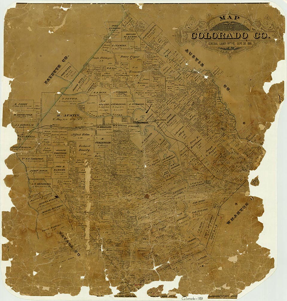
Shaws Bend is on Farm Road 1890 in a bend of the Colorado River five miles northwest of Columbus in north central Colorado County. The settlement was named for Josiah Shaw, who, with his wife, Delinda Fitzgerald Shaw, established a large plantation named Sunnyside there in 1859. The community grew during the Civil War and by the 1870s had stores, a cotton gin, a dance platform, a blacksmith shop, several churches, and schools for both White and Black children. In 1893 a post office was established under the name Hillebrand, in honor of the first and only postmaster, Herrmann Hillebrand. The post office closed in 1895, when mail began to be delivered regularly from Columbus. Before floods destroyed the bridge of the La Grange Tap of the Texas and New Orleans Railroad, there was a flag stop and siding at Shaws Bend for loading cotton. Young people from the south side of the Colorado River often borrowed handcars from the railroad yards at Glidden and used them to attend Saturday night dances at the Shaws Bend dance floor. The destruction of the railroad bridge and the subsequent abandonment of the La Grange Tap, coupled with the fact that State Highway 71 bypassed the community, caused the businesses to move away during the early twentieth century. The area remained important for the production of cotton until restrictions on acreage caused the gins to close during the 1950s. By 1986 the primary crops were corn and pecans, and most of the land was used for grazing cattle. St. John's Lutheran Church and four cemeteries remain to mark the general location of Shaws Bend. In 2000 the population was 100.
Jeff Carroll | © TSHA
Adapted from the official Handbook of Texas, a state encyclopedia developed by Texas State Historical Association (TSHA). It is an authoritative source of trusted historical records.
- ✅ Adoption Status:
Belongs to
Shaws Bend is part of or belongs to the following places:
Currently Exists
Yes
Place type
Shaws Bend is classified as a Town
Associated Names
- (Hillebrand)
Location
Latitude: 29.73662170Longitude: -96.63969610
Has Post Office
No
Is Incorporated
No
Population Count, 2009
100