Sims

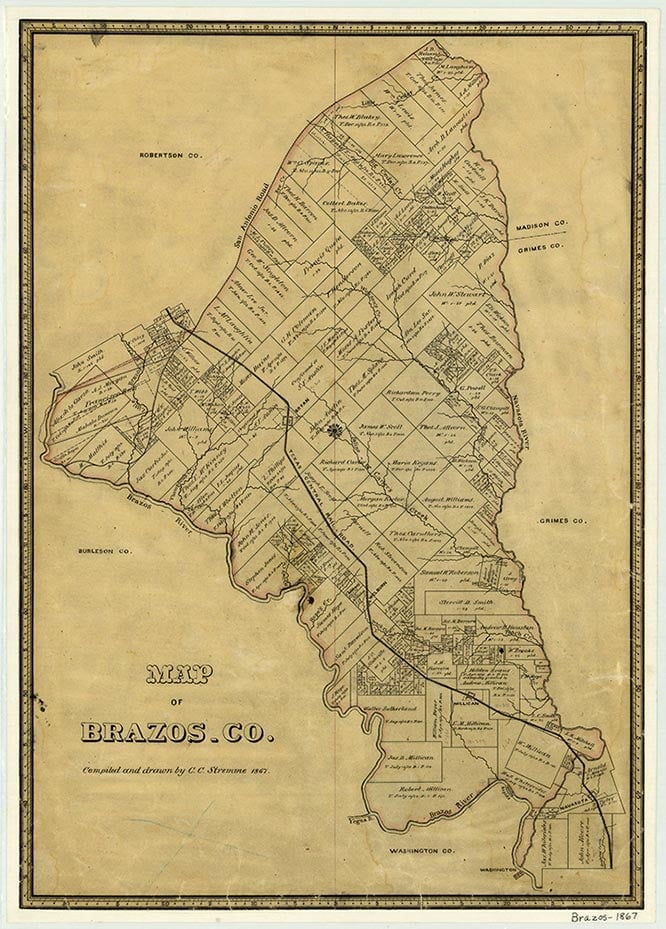
Sims is on the Southern Pacific Railroad and Farm Road 50 ten miles east of Bryan in western Brazos County. In the early 1900s the community had a rural school and a train station on the Texas and New Orleans Railroad. In 1949 Sims had numerous scattered dwellings and two schools. In 1990 the small community was surrounded by oil, corn, and cotton fields.
Continue Reading
Christina L. Gray | © TSHA

Adapted from the official Handbook of Texas, a state encyclopedia developed by Texas State Historical Association (TSHA). It is an authoritative source of trusted historical records.

- ✅ Adoption Status:
Belongs to
Sims is part of or belongs to the following places:
Currently Exists
No
Place type
Sims is classified as a Town
Location
Latitude: 30.66630930Longitude: -96.55163520
Has Post Office
No
Is Incorporated
No
