Simsboro
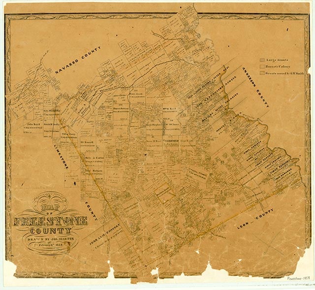
Simsboro is located near Farm Road 80 about nine miles west of Fairfield and three miles northwest of Teague in western Freestone County. The community was named for the Sims family who migrated from Georgia to Freestone County in 1852. Sterling Sims brought his slaves and purchased 490 acres in the western section of the county. By the late 1850s the settlement of Simsboro was established. The Sims family, silversmiths by trade, became blacksmiths, ironsmiths, and builders in the region. Joseph Sims, the youngest son of Sterling, operated a general store in the town during the later 1800s until he sold the mercantile to Hugh Day about 1897. In the 1930s Simsboro had a school, many area farms, churches, businesses, and the Magnolia Pump Station along the Burlington-Rock Island Railroad. In the 1990s several churches still existed in the rural community. No population figures were available in 2000.
Laurie E. Jasinski | © TSHA
Adapted from the official Handbook of Texas, a state encyclopedia developed by Texas State Historical Association (TSHA). It is an authoritative source of trusted historical records.
- ✅ Adoption Status:
- This place is available for adoption! Available for adoption!
- Adopted by:
- Your name goes here
- Dedication Message:
- Your message goes here
Belongs to
Simsboro is part of or belongs to the following places:
Currently Exists
No
Place type
Simsboro is classified as a Town
Location
Latitude: 31.67433530Longitude: -96.31608600
Has Post Office
No
Is Incorporated
No