Sinclair City
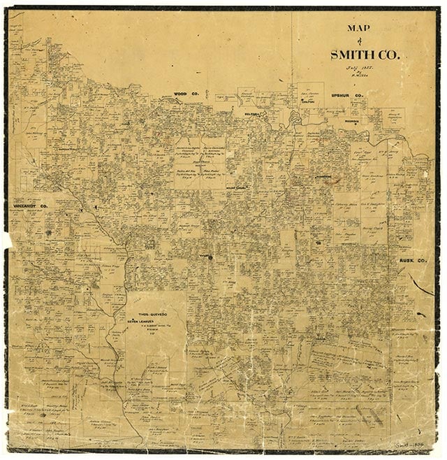
Sinclair City is on Kickapoo Creek and State Highway 135, just north of Troup and south of Arp in the Good Omen oilfield in southeastern Smith County. It was originally on the line between the Benijah Lafferty and Maria Gertrudis Henriquez surveys. In 1877 the International-Great Northern Railroad was built through the area, but Sinclair City did not develop until around 1931, when Guy V. Lewis drilled the first successful oil well there. A pump station and pipeline were installed by the Sinclair Oil and Refining Company. Though the 1936 county highway map did not label Sinclair City, it showed the community with two businesses, a gauging and pumping station, and ten dwellings clustered along the railroad, the highway, and three dirt roads. By 1952 local children attended classes within the Troup Independent School District; this district still served Sinclair City in 1969. By 1966 all the company houses had been removed. In 1973 Sinclair City included two businesses, a community hall, a radio tower, some oil refining tanks, and a scattered collection of dwellings. At that time the Ebenezer Cemetery and the Sinclair, Liberty, and Grace Temple churches were also in the vicinity. The community was still shown on the 1981 county highway map.
Vista K. McCroskey | © TSHA
Adapted from the official Handbook of Texas, a state encyclopedia developed by Texas State Historical Association (TSHA). It is an authoritative source of trusted historical records.
- ✅ Adoption Status:
Belongs to
Sinclair City is part of or belongs to the following places:
Currently Exists
Yes
Place type
Sinclair City is classified as a Town
Location
Latitude: 32.19848990Longitude: -95.07994350
Has Post Office
No
Is Incorporated
No
Population Count, 2009
50