Smyrna
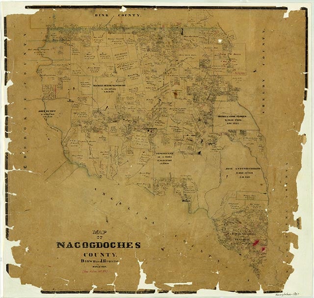
Smyrna, also known as Chinita, Lowery, and River Fork, was a farming community off Farm Road 226 some twenty-six miles southeast of Nacogdoches in extreme southeastern Nacogdoches County. The area was first settled in the 1850s by settlers from the Old South. During its early years it was known as River Fork (for its location near the confluence of the Angelina River and Attoyac Bayou) and as Lowery (after a pioneer family that settled in the area). The Spinks family purchased a large section of land in the area and the community was eventually renamed Smyrna for their former home in Smyrna, Georgia. Smyrna had a boat landing on the Angelina River, and for a time it was an active trading center. A post office operated briefly in 1895 under the name Chinita. By 1896 the community of some twenty-five residents included Baptist and Christian churches, a district school, a cotton gin, and a sawmill. In 1904 the post office reopened as Smyrna and operated, with only one brief interruption, until 1914. The population reached 100 by the eve of World War I but began to decline during the 1920s. By the time of World War II the school and all the businesses had closed, and in the early 1990s only a few scattered houses and several cemeteries remained.
Christopher Long | © TSHA
Adapted from the official Handbook of Texas, a state encyclopedia developed by Texas State Historical Association (TSHA). It is an authoritative source of trusted historical records.
- ✅ Adoption Status:
- This place is available for adoption! Available for adoption!
- Adopted by:
- Your name goes here
- Dedication Message:
- Your message goes here
Belongs to
Smyrna is part of or belongs to the following places:
Currently Exists
No
Place type
Smyrna is classified as a Town
Associated Names
- (Chinata)
- (Lowery)
- (River Fork)
Location
Latitude: 31.31407640Longitude: -94.36020100
Has Post Office
No
Is Incorporated
No