Somerville Lake
.jpg)
Cormorants on Somerville Lake


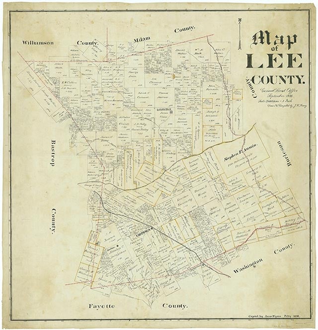
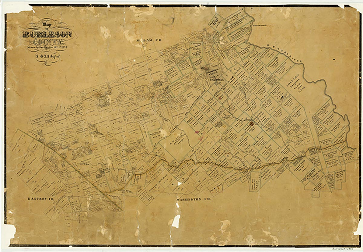
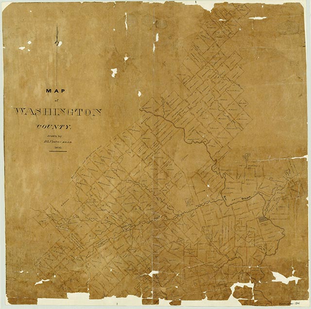
Somerville Lake is a large multi-purpose lake on Yegua Creek in the Brazos River drainage basin thirty miles southwest of Bryan in southern Burleson, northwestern Washington, and eastern Lee counties (at 30°20' N, 96°32' W). It extends nine miles upstream from Somerville Dam and has eighty-five miles of shoreline, much of it sand covered. The reservoir was constructed at an initial cost of $25 million by the United States Army Corps of Engineers, Fort Worth District, primarily in order to control the frequent floods in the Yegua Creek watershed that brought destruction in forty-three of the forty-six years between 1912 and 1958. The lake is operated by the Brazos River Authority for a variety of industrial, recreational, and irrigation functions in addition to its conservation role. In 1962 construction began on the Somerville Dam, which is located two miles south of Somerville and twenty miles upstream from Yegua Creek's confluence with the Brazos River. By 1967 the dam was completed; impoundment of water began immediately, and the reservoir received its official dedication on May 17, 1968. In addition to Yegua, at least a dozen smaller creeks and streams feed Somerville Lake, which drains an area of 1,006 square miles above the dam. At the conservation storage elevation of 238 feet above mean sea level the lake has a capacity of 160,100 acre-feet and a surface area of 11,160 acres. At its peak flood control elevation of 258 feet the reservoir has a capacity of 500,000 acre-feet of water and covers an area of some 24,400 acres. The dam provides flood protection for 9,000 acres of land along Yegua Creek and helps protect 887,000 acres of agricultural land along the Brazos. Somerville Lake has become a significant recreational area in south central Texas. By the early 1970s the reservoir had won renown for the quality of its bass fishing. Much of the lake is set in extensive groves of post and red oaks, yaupons, and willows. At least seven parks have been developed in the vicinity, including four operated by the United States Army Corps of Engineers, a city-owned park, and the two-unit Lake Somerville State Recreation Area; these attract several hundred thousand visitors annually. The shores are fringed with numerous camping facilities, two floating marinas, ten boat ramps, and extensive nature trails and playgrounds. The Reservoir, like the community of Somerville on the northeastern rim of the lake, derives its name from Albert Somerville, first president of the Gulf, Colorado and Santa Fe Railway, which constructed a line through the area in the 1880s and subsequently established a large crosstie processing plant in the town.
| © TSHA

Adapted from the official Handbook of Texas, a state encyclopedia developed by Texas State Historical Association (TSHA). It is an authoritative source of trusted historical records.

- ✅ Adoption Status:
Belongs to
Somerville Lake is part of or belongs to the following places:
Lake Measurements
- Surface Area (in acres): 11,395
- Storage Capacity (in acre-feet): 150,293
Lake Maintained or Owned by
USAE
Date of Origin
1967 (57 years ago)Currently Exists
Yes
Place type
Somerville Lake is classified as a Lake
Purposes
- Flood Control
- Municipal water supply
- Irrigation
- Industry
