South Bend
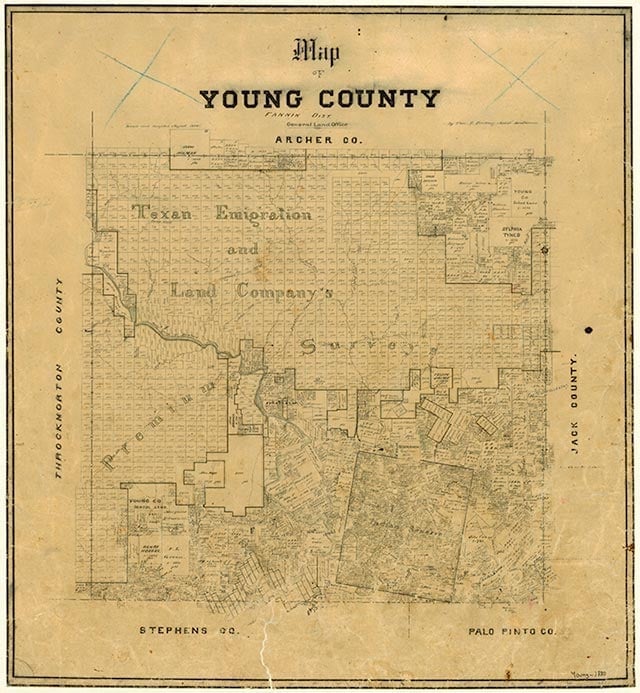
South Bend is at the intersection of State Highway 67 and Farm Road 701, on a bend of the Clear Fork of the Brazos River near the Stephens county line in south central Young County. The first storekeeper, J. N. Smith, named the place Arkansas, but when a post office was established in the late 1890s the name was changed. Other early settlers were Homer Ford, Parson Goode, Ed Norman, Ben Burgess, Jim Rice, Abe Matthews, and Buck Miller. Oil discoveries in the town led to a boom in the 1920s. Stovall Hot Wells was developed in 1929 after an oil well, drilled to 4,250 feet, began flowing with mineral water of 130° F. After the initial disappointment at the decrease in oil, residents discovered the value of the water, and a health resort resulted. The population was 500 in 1940 but declined steadily to reach 100 in 1980. In the mid-1980s South Bend had a post office and several businesses. The population was 100 in 1990. In 2000 the population was 140.
William R. Hunt | © TSHA
Adapted from the official Handbook of Texas, a state encyclopedia developed by Texas State Historical Association (TSHA). It is an authoritative source of trusted historical records.
- ✅ Adoption Status:
- This place is available for adoption! Available for adoption!
- Adopted by:
- Your name goes here
- Dedication Message:
- Your message goes here
Belongs to
South Bend is part of or belongs to the following places:
Currently Exists
Yes
Place type
South Bend is classified as a Town
Associated Names
- (Arkansas)
- (McMannis' Store)
Location
Latitude: 33.00456190Longitude: -98.66839340
Has Post Office
Yes
Is Incorporated
No
Population Count, 2014
100