Southmost
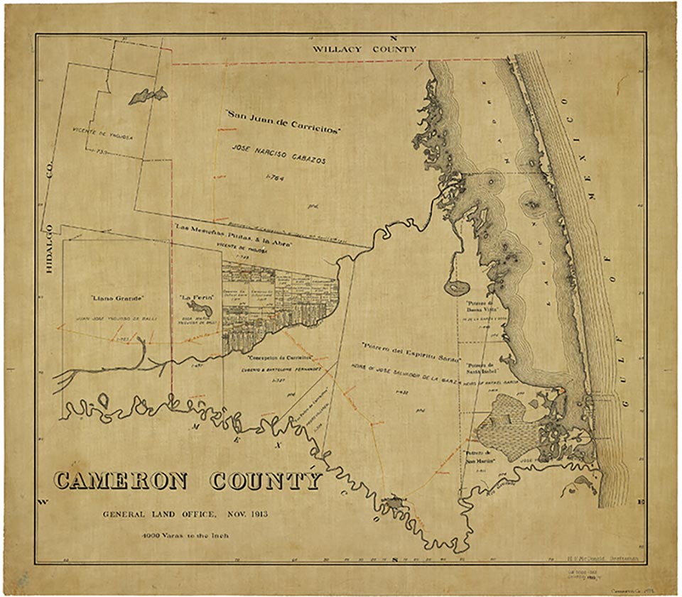
Southmost is off Farm Road 1419 seven miles southeast of Brownsville in extreme southern Cameron County. The area was part of the Potrero de San Martín grant received by José Ygnacio de Treviño from Mexico in 1827. It was disputed territory during the Mexican War and the Civil War. In 1948 it was the Brulay plantation. The Mexican population in the area grew citrus fruit and winter vegetables. In 1962 Southmost was known as a name without a town because it was not officially recognized. Six local ranches were Southmost Ranch, Stark Place, Frank Rabb Ranch (also known as Las Palmas), Old Brown Place, Louis Brulay Place, and Grover Singer Ranch. By 1976 the community was officially recognized as an unnamed colonia; it had twenty-three dwellings and an estimated population of 187. In 1979 the colonia had an estimated ninety-nine families. In 1990 Southmost had a cemetery and various dwellings.
Alicia A. Garza | © TSHA
Adapted from the official Handbook of Texas, a state encyclopedia developed by Texas State Historical Association (TSHA). It is an authoritative source of trusted historical records.
- ✅ Adoption Status:
- This place is available for adoption! Available for adoption!
- Adopted by:
- Your name goes here
- Dedication Message:
- Your message goes here
Belongs to
Southmost is part of or belongs to the following places:
Currently Exists
No
Place type
Southmost is classified as a Town
Location
Latitude: 25.85730410Longitude: -97.38997850
Has Post Office
No
Is Incorporated
No