Southton

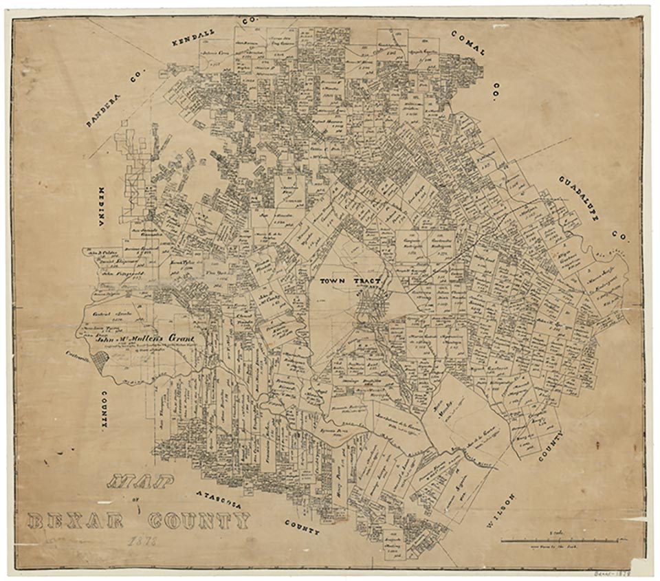
Southton is on the Southern Pacific Railroad off U.S. Highway 281, ten miles southeast of downtown San Antonio in southern Bexar County. The settlement became a townsite on the San Antonio and Aransas Pass Railway in the early 1900s. A post office was established in 1910, when the population was sixteen. In 1940 the town had a church, a school, a post office, and a population of twenty. The station was the shipping point for the Yturri-Southton oilfield. The community was the site of Bexar County Farms, San Antonio Cotton Mills, and a detention home called the Bexar County Boy's Home; the population, chiefly Lutheran, was ninety in 1946. The number of residents declined during the 1950s and early 1960s, and in 1965 Southton reported sixty residents and two businesses. Since that time Southton has grown slowly. In 1990 it had 113 inhabitants. The population remained the same in 2000.
Minnie B. Cameron | © TSHA

Adapted from the official Handbook of Texas, a state encyclopedia developed by Texas State Historical Association (TSHA). It is an authoritative source of trusted historical records.

- ✅ Adoption Status:
- This place is available for adoption! Available for adoption!
- Adopted by:
- Your name goes here
- Dedication Message:
- Your message goes here
Belongs to
Southton is part of or belongs to the following places:
Currently Exists
Yes
Place type
Southton is classified as a Town
Location
Latitude: 29.29634900Longitude: -98.41862570
Has Post Office
No
Is Incorporated
No
Population Count, 2009
113
