Spring Hill
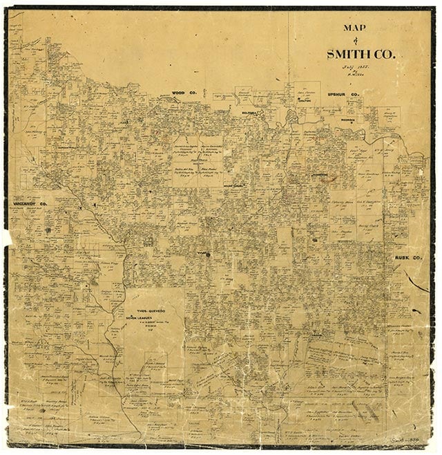
Spring Hill is a small rural church community at the intersection of Farm Road 164 and a medium-duty road three miles north of Noonday in western Smith County. Butler Creek runs through the area, which had been settled by 1903, when county records show that the one-teacher Spring Hill school had twenty-three White students. The settlement was not labeled on the 1936 county highway map but at that time included a church, a cemetery, a business, and a cluster of farms. The school had been replaced by a one-teacher elementary with fifty-one Black students. By 1952 Spring Hill and surrounding schools had been consolidated into the Rice Independent School District. A 1966 map shows a church and a few scattered dwellings at the community. Spring Hill was still shown on the 1981 county highway map.
Vista K. McCroskey | © TSHA
Adapted from the official Handbook of Texas, a state encyclopedia developed by Texas State Historical Association (TSHA). It is an authoritative source of trusted historical records.
- ✅ Adoption Status:
- This place is available for adoption! Available for adoption!
- Adopted by:
- Your name goes here
- Dedication Message:
- Your message goes here
Belongs to
Spring Hill is part of or belongs to the following places:
Currently Exists
No
Place type
Spring Hill is classified as a Town
Location
Latitude: 32.28042870Longitude: -95.38912070
Has Post Office
No
Is Incorporated
No