St. Mary
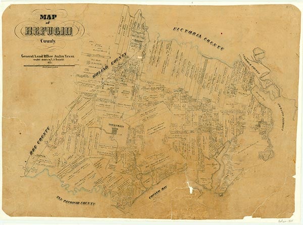
St. Mary's of Aransas, once a leading town of Refugio County and for a short time county seat, flourished from about 1850 to 1886. The town on Copano Bay, planned by Joseph F. Smith, became a leading lumber mart. It also shipped hides, tallow, cattle, and cotton. Regular lines of wagon and cart trains operated between the port and Refugio, Goliad, Beeville, San Antonio, Uvalde, and other points. When the Civil War began, most of the town's able-bodied men marched off to fight, and two federal warships later captured St. Mary's unopposed; Yankee sailors burned two large warehouses and a wharf and sailed away. Around 1868 the community acquired a connection with the Morgan Lines, whose passenger and freight vessels made regular port in St. Mary's for several years. The bay, however, hid several submerged reefs, and soon the bottom was littered with wrecked steamships. The dangerous reefs and the storm damage in 1875 caused Morgan officials to discontinue regular service to St Mary's. The rise of Rockport and the loss of county-seat status marked the decline of St. Mary's. The San Antonio and Aransas Pass Railway, which in the early years of the 1880s had planned to build a line into St. Mary's, went instead into Rockport. In 1886 the wharves and the schoolhouse were destroyed by a storm; the next year, before that damage could be fully repaired, another storm proved even more destructive. Thereafter, the town dwindled steadily and finally faded out with the closing of the post office and general store in 1907. In 1948 only two or three houses remained, and the descendants of one family continued to live there. Clara Driscoll, the "savior of the Alamo," was born in St. Mary's in 1861.
Hobart Huson | © TSHA
Adapted from the official Handbook of Texas, a state encyclopedia developed by Texas State Historical Association (TSHA). It is an authoritative source of trusted historical records.
- ✅ Adoption Status:
Belongs to
St. Mary is part of or belongs to the following places:
Currently Exists
No
Place type
St. Mary is classified as a Town
Associated Names
- [Old-]
- ['s of Aransas]
- (Bayside)
Location
Latitude: 28.10195870Longitude: -97.20888040
Has Post Office
No
Is Incorporated
No