Stag Creek
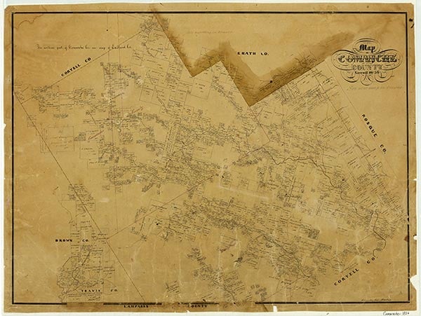
Stag (or Stagg) Creek rises two miles south of Farm Road 1689 in northwest Comanche County east of the Brown county line (at 31°57' N, 98°49' W). The stream travels northeast for ten miles to its mouth on South Copperas Creek, two miles east of the junction of State Highway 36 and Farm Road 1477 (at 32°01' N, 98°48' W). The area's rolling prairies are covered with clay loam that supports mesquite and grasses. Schoolchildren from a nearby rural school named the creek after the deer they saw coming to drink there. The communities of Cross Roads and Stag Creek are on the stream.
| © TSHA
Adapted from the official Handbook of Texas, a state encyclopedia developed by Texas State Historical Association (TSHA). It is an authoritative source of trusted historical records.
- ✅ Adoption Status:
Belongs to
Stag Creek is part of or belongs to the following places:
Currently Exists
Yes
Place type
Stag Creek is classified as a Town
Location
Latitude: 32.01208810Longitude: -98.75699710
Has Post Office
No
Is Incorporated
No
Population Count, 2009
45