State Line
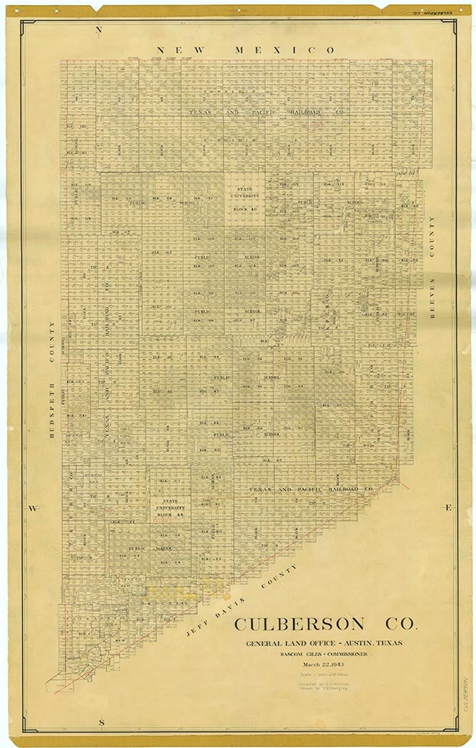
State Line is on the Texas-New Mexico border and U.S. Highway 62/180 eighteen miles northeast of Pine Springs in north central Culberson County. In 1970 the population was first estimated, and it remained at the same level-eighteen-through the late 1980s. In 1990 the community did not appear on maps of the area, but a State Line Saloon was at the site. The population was eighteen in 2000.
Martin Donell Kohout | © TSHA

Adapted from the official Handbook of Texas, a state encyclopedia developed by Texas State Historical Association (TSHA). It is an authoritative source of trusted historical records.

- ✅ Adoption Status:
Belongs to
State Line is part of or belongs to the following places:
Currently Exists
No
Place type
State Line is classified as a Town
Location
Latitude: 31.99817320Longitude: -104.53466890
Has Post Office
No
Is Incorporated
No

