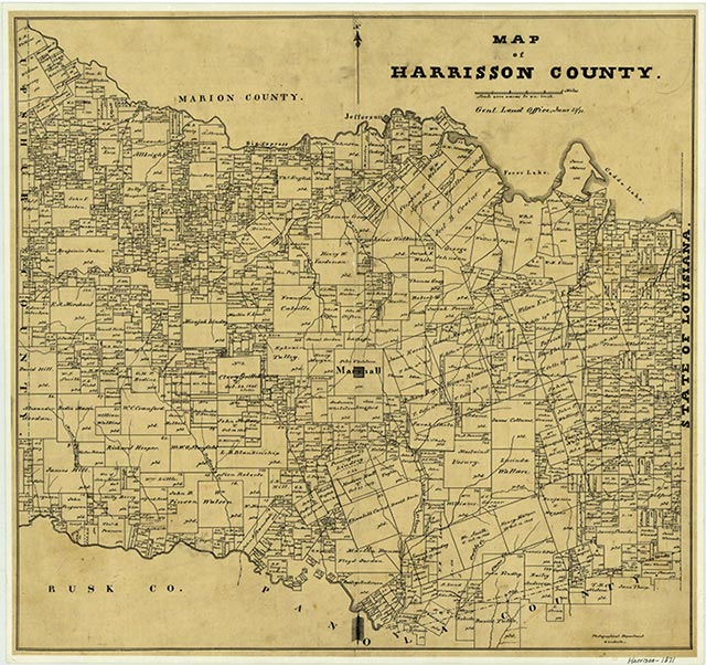
Stricklin Springs

Jackson Creek rises six miles southwest of Stricklin Springs in southeastern Harrison County (at 32°23' N, 94°12' W) and runs southwest for 15½ miles, passing through southeastern Harrison and northeastern Panola counties, to its mouth on the Sabine River, eight miles northeast of Carthage in northeastern Panola County (at 32°14' N, 94°14' W). It traverses nearly level terrain surfaced by loamy and clayey soils that support dense patches of pine and hardwood trees along its banks. The area is used predominantly for agriculture.
| © TSHA

Adapted from the official Handbook of Texas, a state encyclopedia developed by Texas State Historical Association (TSHA). It is an authoritative source of trusted historical records.

- ✅ Adoption Status:
Belongs to
Stricklin Springs is part of or belongs to the following places:
Currently Exists
No
Place type
Stricklin Springs is classified as a Town
Location
Latitude: 32.43182110Longitude: -94.15268960
Has Post Office
No
Is Incorporated
No
