Tavener
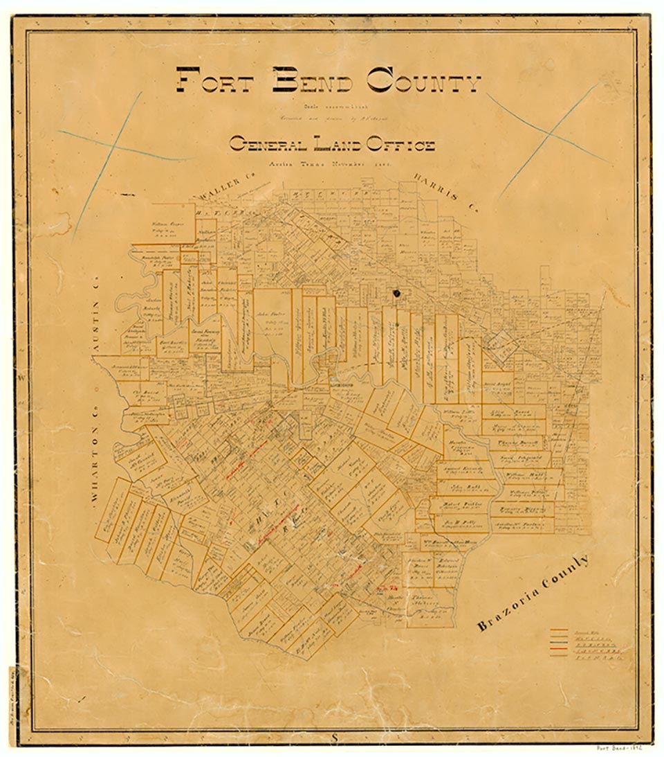
Tavener, twelve miles west of Richmond in southwestern Fort Bend County, was established in 1890 as a stop on the Texas and New Orleans Railroad and was named for Charley Tavener, an area pioneer. It secured a post office in 1910, and by 1914 it had a general store, a lumberyard, a telephone connection, and a population of twenty-five. In 1926 Tavener had one school for 135 White students and a second school for twenty-eight Black students. The post office closed sometime after 1930. By 1933 Tavener had fifty residents and four businesses; in 1945 its population was still fifty, but there was only one business reported. By 1953 its population had decreased to twenty, and it remained at that level until 1970, when it rose to thirty. Tavener was shown on the 1987 county highway map. No later population statistics were available.
Stephen L. Hardin | © TSHA
Adapted from the official Handbook of Texas, a state encyclopedia developed by Texas State Historical Association (TSHA). It is an authoritative source of trusted historical records.
- ✅ Adoption Status:
Belongs to
Tavener is part of or belongs to the following places:
Currently Exists
No
Place type
Tavener is classified as a Town
Associated Names
- (Morrison)
- (Natali)
Location
Latitude: 29.54024050Longitude: -95.98940070
Has Post Office
No
Is Incorporated
No