Taylor's Chapel
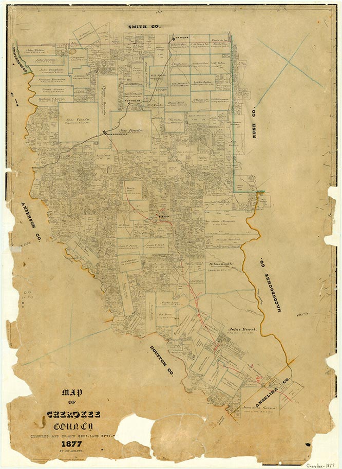
Taylor's Chapel was an early settlement seventeen miles north of Rusk on what is now State Highway 135 in northern Cherokee County. The community grew up along the old Cherokee Trail in the 1850s and was named for an early church. It served as a stopping point for travelers entering the county around the time of the Civil War. In the mid-1930s Taylor's Chapel comprised a church and a number of houses. After World War II many residents left the area, but in the 1980s the church and a few scattered dwellings still remained.
Christopher Long | © TSHA
Adapted from the official Handbook of Texas, a state encyclopedia developed by Texas State Historical Association (TSHA). It is an authoritative source of trusted historical records.
- ✅ Adoption Status:
Belongs to
Taylor's Chapel is part of or belongs to the following places:
Currently Exists
No
Place type
Taylor's Chapel is classified as a Town
Location
Latitude: 32.04487500Longitude: -95.20907100
Has Post Office
No
Is Incorporated
No