Terrell Wells

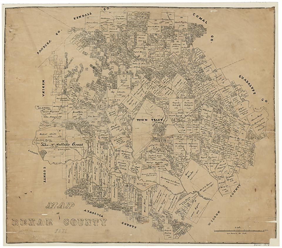
Terrell Wells, eight miles southwest of downtown San Antonio in central Bexar County, was named for the mineral wells on the land of prominent politician Frederick Terrell and became a post office and health resort in the 1920s. One business and a population of fifty were reported there in 1930, and in 1940 the population was 150. The wells were closed after World War II, and by the 1950s the community was no longer shown on maps. The name was preserved in the local junior high.
Claudia Hazlewood | © TSHA

Adapted from the official Handbook of Texas, a state encyclopedia developed by Texas State Historical Association (TSHA). It is an authoritative source of trusted historical records.

- ✅ Adoption Status:
Belongs to
Terrell Wells is part of or belongs to the following places:
Currently Exists
No
Place type
Terrell Wells is classified as a Town
Associated Names
- (San Jose)
Location
Latitude: 29.33968040Longitude: -98.51585050
Has Post Office
No
Is Incorporated
No
