Terryville
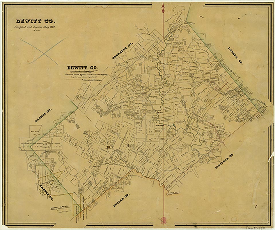
Terryville, at the intersection of Farm roads 682 and 1447, in eastern DeWitt County, was first settled in 1850 by Bob Alexander, but was named after James and John Terry, who opened a store there in 1852. Early on, at least a dozen other families settled there. Until a post office was established in 1869, mail was brought from Victoria on horseback. In June 1861 during the Civil War, a Confederate guard company was recruited there under Andrew J. Scarborough. The first school was built in 1870 with lumber cut from a nearby mill, and a Methodist church was established by 1870 at a site now marked as the Old Terryville Cemetery. The church was especially active from 1880 to 1910, but was discontinued in 1940. In 1886 Terryville was moved to a site three miles southeast, less than a mile from the Lavaca county line. The town peaked about 1890, when it had three groceries, a blacksmith shop, a gristmill, a steam cotton gin, a school, and at least one church and Sunday school. At one time, four churches have been listed at the community. The population during the 1890s was recorded variously as thirty-five to fifty. The town declined after 1900: its post office was closed in December 1907, and its population went unrecorded until 1939, when twenty residents and one store were listed. By 1960 Terryville had grown to fifty residents, though it declined to forty by the end of the decade. The Terryville School closed in 1950, but a small Baptist church, organized in the 1940s, was still active at the community in 1962. Terryville still reported a population of forty through 2000.
Craig H. Roell | © TSHA
Adapted from the official Handbook of Texas, a state encyclopedia developed by Texas State Historical Association (TSHA). It is an authoritative source of trusted historical records.
- ✅ Adoption Status:
- This place is available for adoption! Available for adoption!
- Adopted by:
- Your name goes here
- Dedication Message:
- Your message goes here
Belongs to
Terryville is part of or belongs to the following places:
Currently Exists
Yes
Place type
Terryville is classified as a Town
Associated Names
- (Cook's Mill)
Location
Latitude: 29.18997320Longitude: -97.07109670
Has Post Office
No
Is Incorporated
No
Population Count, 2009
40