Texarkana
Texarkana is at the junction of Interstate 30 and U.S. highways 59, 67, 71, and 82 in extreme northeastern Texas on the Texas-Arkansas border. It was named for its location on the state line between Bowie County, Texas, and Miller County, Arkansas, only a short distance above the Louisiana boundary. The three parts of its name honor the three states. There is some debate about the actual origins of the name, which was in use some time before the town's founding. According to one tradition, the name was derived from a steamboat known as the Texarkana, which plied the water of the Red River as early as 1860. Others claim that a man named Swindle, who ran a general store in Red Land, Bossier Parish, Louisiana, manufactured a drink called "Texarkana Bitters." Yet another story claims that when the St. Louis, Iron Mountain and Southern Railroad was building its line through the area, Col. Gus Knobel, who made the survey, coined the name and erected a large sign at the site. The strategic position of Texarkana is the keynote to its history and development. The Great Southwest Trail, for hundreds of years the main line of travel from Indian villages of the Mississippi River country to those of the South and West, passed by a Caddo Indian village on the site that later became Texarkana. Seventy Indian mounds, reminders of Caddo occupation and culture, are within a radius of thirty miles of Texarkana. Texarkana has remained a gateway to the Southwest. When the builders of the Cairo and Fulton Railroad crossed Arkansas in the late 1850s and by 1874 pushed their rails beyond the Red River to the border line of Texas, they met there the rail head that had been extended to the state line by the builders of the Texas and Pacific. The road from the south bank of Red River was completed on January 15, 1874, to the state line, where the city of Texarkana had been established on December 8, 1873, at the site where the two roads would join. The Texas and Pacific Railway Company laid out the Texas side of the town. The plat included land from the railroad yards to Seventh Street, and west from the state line to Deutschmann's Canal. The first business, a combination drug and grocery store operated by George M. Clark, opened on December 8, 1873. In 1876 Texarkana, Texas, was granted a charter under an act of the state legislature.
State Line Avenue, the town's main street, was laid out exactly along the dividing line between the two states. Initially the town had only a single post office, on the Arkansas side of the town. Those living on the Texas side requested a post office of their own. Postal officials granted the request, and a post office, known as Texarkana, Texas, operated from 1886 to 1892, when it was closed. For some time after that the post office was known as Texarkana, Arkansas, until Congressman John Morris Sheppard secured a postal order changing the name officially to Texarkana, Arkansas-Texas. By 1896 Texarkana had a waterworks, an electric light plant, five miles of streetcar lines, gas works, four daily and weekly newspapers, an ice factory, a cotton compress, a cotton oil mill, a sewer system, brick schools, two foundries, a machine shop, a hotel, and a population of 14,000. In 1907 Texarkana, Texas, was accorded city status, and granted a new charter. By 1925 the Texas side of the town had a population of 11,480, many of whom worked for one of the railroads or in processing agricultural products. During the Great Depression of the early 1930s the number of businesses declined from 840 in 1931 to 696 in 1936, but the town's economic fortunes recovered by the early 1940s, buoyed in part by the construction of Red River Army Depot and the Lone Star Army Ammunition plant. In 1948 Texarkana, as the junction of four important railroad systems with eight outlets, was one of the major railroad centers of the Southwest. The city was also important as a commercial and industrial center. The industries have been built around three natural resource-a rich timbered area, fertile agricultural lands, and abundant and diversified mineral deposits.
| © TSHA

Adapted from the official Handbook of Texas, a state encyclopedia developed by Texas State Historical Association (TSHA). It is an authoritative source of trusted historical records.

- ✅ Adoption Status:
Belongs to
Texarkana is part of or belongs to the following places:
Currently Exists
Yes
Place type
Texarkana is classified as a Town
Location
Latitude: 33.44465460Longitude: -94.07827500
Has Post Office
Yes
Is Incorporated
Yes
Population Count, 2021 View more »
36,017
Places of Texarkana
| Place | Type | Population (Year/Source) | Currently Exists |
|---|---|---|---|
| College or University | – | Yes | |
| College or University | – | Yes |
Photos Nearby:

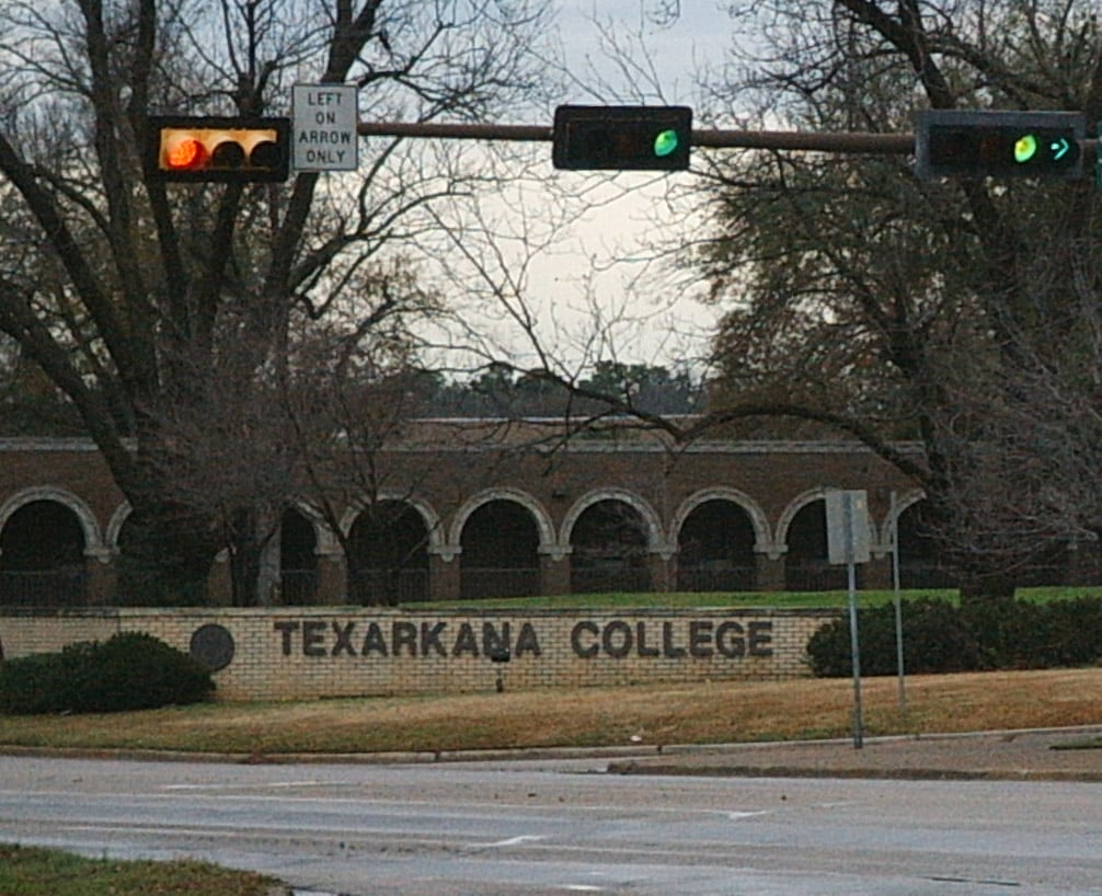
Welcome sign at Texarkana College
Photo by freakofnurture, Public domain, via Wikimedia Commons

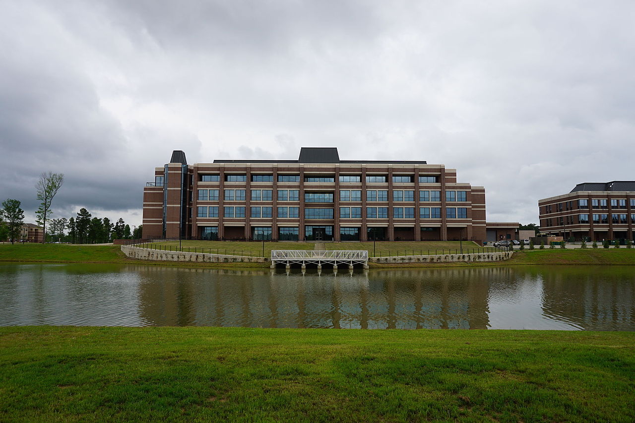
Bringle Lake & University Center, TAMU-Texarkana
Photo by Michael Barera, CC BY-SA 4.0, via Wikimedia Commons

Proud to call Texas home?
Put your name on the town, county, or lake of your choice.
Search Places »

