Toledo Bend Reservoir

Toledo Bend Reservoir runs along the Texas–Louisiana border
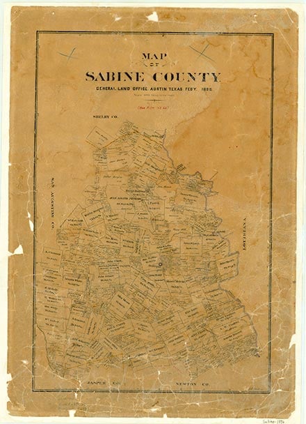
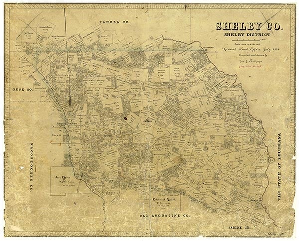
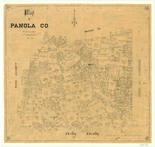
The Toledo Bend Reservoir on the Sabine River is formed by the Toledo Bend Dam (at 31°10' N, 93°34' W) eighty miles northeast of Beaumont. The reservoir occupies parts of Newton, Sabine, Panola, and Shelby counties, Texas, and Sabine and De Soto parishes, Louisiana. Construction at the Toledo Bend site on the Sabine River, here the border between Texas and Louisiana, began on May 11, 1964, and deliberate impoundment of water began on October 3, 1966. By 1967 more than 100 archeological sites had been found at the Toledo Bend project. The dam was completed in 1969. Massman-Johnson Construction Company served as general contractor; the state share in the cost of the project is estimated to have been $70 million. The Toledo Bend Dam and Reservoir is owned by the Sabine River authorities of Texas and Louisiana (see SABINE RIVER AUTHORITY), and in the early 1990s the reservoir was the largest lake in Texas or on its borders. Its rolled earthfill dam has a spillway crest elevation of 145 feet above sea level. Two hydroelectric units generate a total capacity of 80,750 kilowatt hours. Texas and Louisiana share the water and electricity. With a drainage area of 7,178 square miles, the Toledo Bend Reservoir conserves water for municipal, industrial, agricultural, and recreational purposes and stretches for well over 100 river miles. Recreational areas around the lake include Willow Oak Recreation Area, Indian Mounds Wilderness Area, Ragtown, and Lakeview, and provide boat ramps and picnicking and camping facilities. The lake has been well known for bass fishing and has been the site of many game-fish tournaments. In the early 1990s Texas and Louisiana reached an agreement on bag and length limits for bass and stocked Florida bass in the reservoir in an effort to encourage a comeback of fish after a population reduction in the 1980s-the result of excessive fishing and a changing lake environment. In 1993 the lake had a conservation surface area of 181,600 acres and a storage capacity of 4,472,900 acre-feet.
Robert Wooster | © TSHA
Adapted from the official Handbook of Texas, a state encyclopedia developed by Texas State Historical Association (TSHA). It is an authoritative source of trusted historical records.
- ✅ Adoption Status:
- This place is available for adoption! Available for adoption!
- Adopted by:
- Your name goes here
- Dedication Message:
- Your message goes here
Belongs to
Toledo Bend Reservoir is part of or belongs to the following places:
Lake Measurements
- Surface Area (in acres): 181,600
- Storage Capacity (in acre-feet): 4,477,000
Lake Maintained or Owned by
Sabine River Authority
Date of Origin
1967 (57 years ago)Currently Exists
Yes
Place type
Toledo Bend Reservoir is classified as a Lake
Purposes
- Recreation
- Power generation
- Municipal water supply
- Irrigation
- Industry