Union High
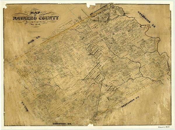
Union High, at the junction of Farm roads 638 and 642, eight miles southeast of Dawson in southwestern Navarro County, was probably established in the nineteenth century. In the mid-1930s it had two schools, a church, several stores, a cemetery, and a number of houses. After World War II many of the residents moved away, but in the mid-1960s a church and cemetery remained in the area. In the early 1990s Union High was a dispersed rural community. The population was thirty in 2000.
Christopher Long | © TSHA
Adapted from the official Handbook of Texas, a state encyclopedia developed by Texas State Historical Association (TSHA). It is an authoritative source of trusted historical records.
- ✅ Adoption Status:
Belongs to
Union High is part of or belongs to the following places:
Currently Exists
Yes
Place type
Union High is classified as a Town
Location
Latitude: 31.84377230Longitude: -96.59693080
Has Post Office
No
Is Incorporated
No
Population Count, 2009
30