Venable
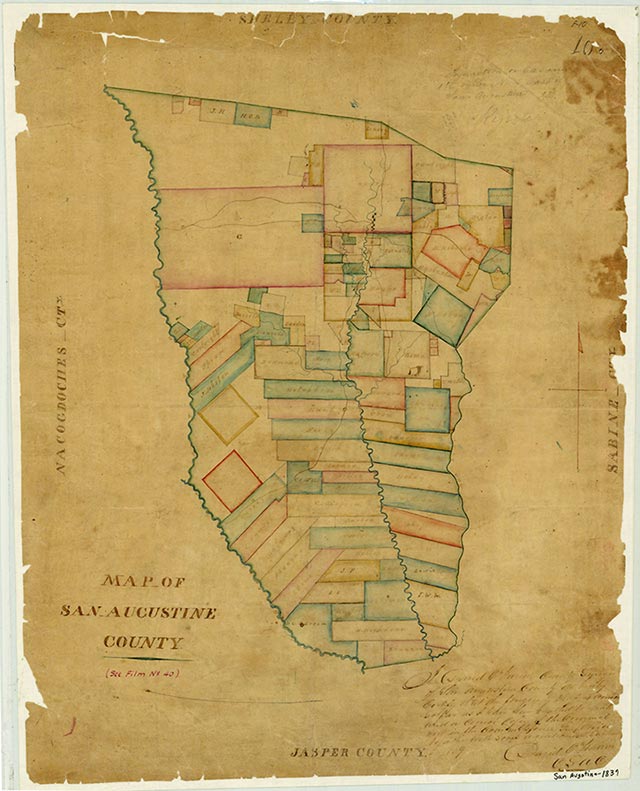
Chinquapin Creek, also known as Egg Nog Branch, rises just east of Venable in eastern San Augustine County (at 31°28' N, 94°04' W) and runs southwest for 10½ miles to its mouth on Ayish Bayou, at the east edge of Angelina National Forest twelve miles south of San Augustine (at 31°21' N, 94°08' W). The surrounding nearly level flood plain is surfaced by loam and clay that supports dense forests of pine and hardwoods. The area is used predominantly as forest land. The creek is named for the chinquapin trees that grow along its banks.
| © TSHA
Adapted from the official Handbook of Texas, a state encyclopedia developed by Texas State Historical Association (TSHA). It is an authoritative source of trusted historical records.
- ✅ Adoption Status:
- This place is available for adoption! Available for adoption!
- Adopted by:
- Your name goes here
- Dedication Message:
- Your message goes here
Belongs to
Venable is part of or belongs to the following places:
Currently Exists
No
Place type
Venable is classified as a Town
Location
Latitude: 31.46407130Longitude: -94.08963850
Has Post Office
No
Is Incorporated
No