Ward County
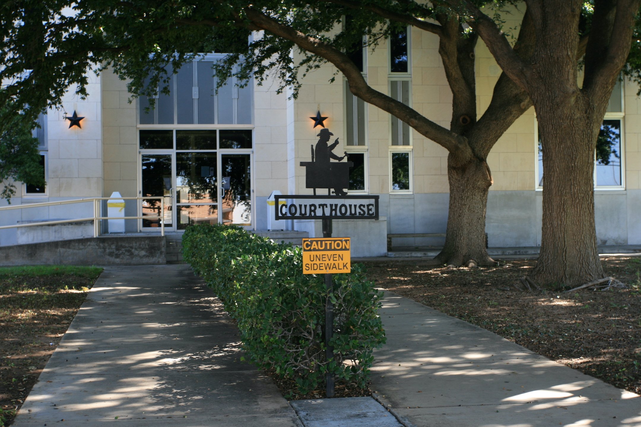
Ward County, Texas
Photograph Credit: Robert Plocheck.
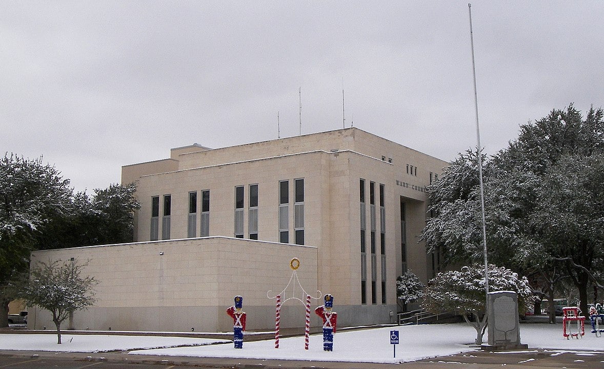
Ward County, Texas
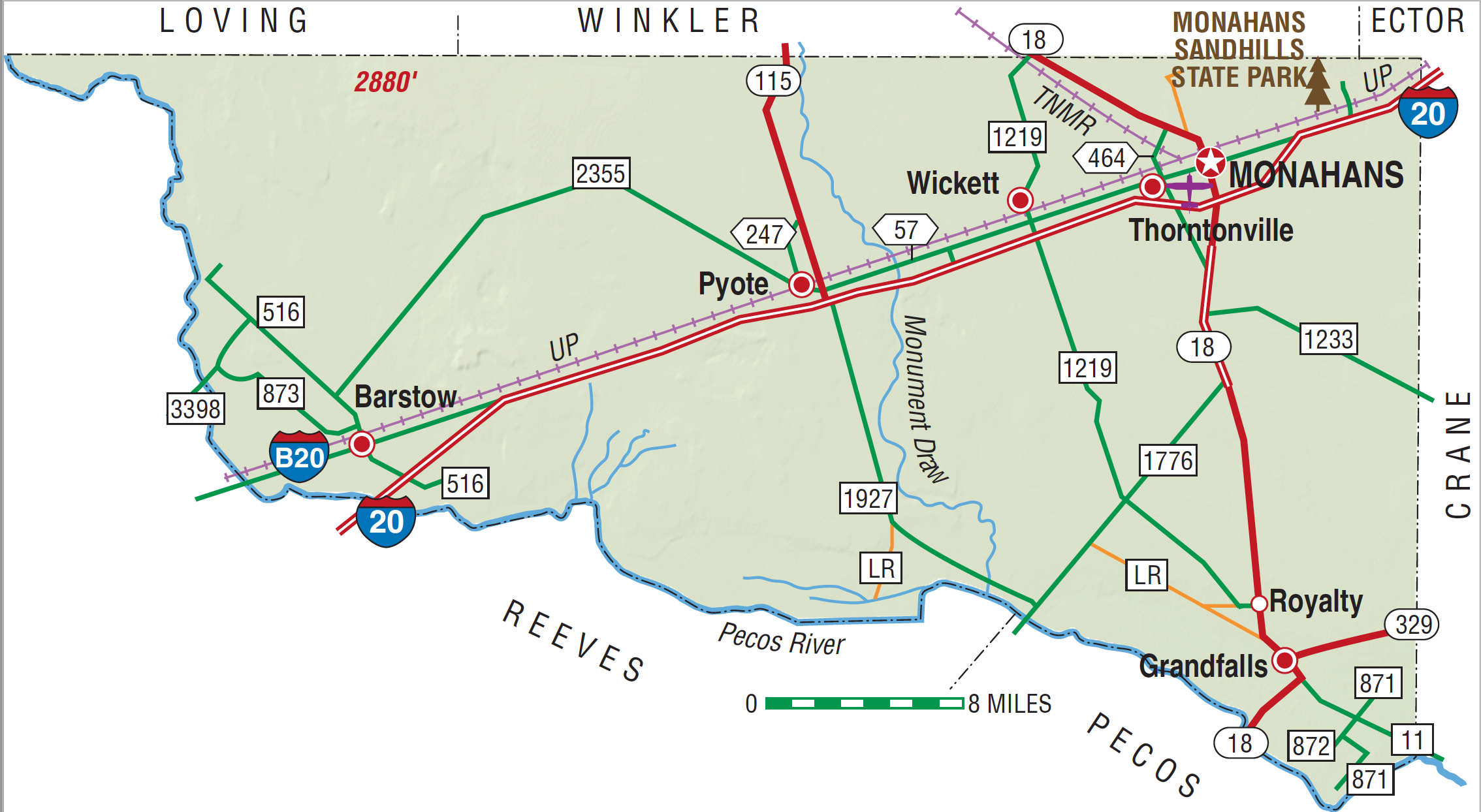
Ward County, Texas
Ward County is on the southwestern edge of the High Plains region of southwest Texas. The center of the county is at 31°32' north latitude and 103°07' west longitude, near the community of Pyote. Monahans, the county seat, is in the northeastern corner of Ward County at the intersection of Interstate Highway 20 and Farm Road 18, thirty-three miles southwest of Odessa on the Missouri Pacific Railroad. The area was named for Thomas W. Ward. Ward County covers 539,460 acres, or 836 square miles, of generally level land; elevations range from 2,400 to 2,800 feet above sea level. Large areas in north Ward County are composed of active, windblown sand dunes, subject to wind erosion and sediment transport. This area has scattered oak groves and a number of sections commonly barren except for grasses and nongrassy herbs, the abundance of which depends on rainfall. Along the Pecos River in the south and west are areas of alluvial fans composed of sand, gravel, and mud substrate. Scrub brush and sparse grasses grow in this part of the county. Near the towns of Grandfalls and Royalty are areas of caliche with bedrock and alluvial material in the substrate. Scrub brush, sparse grasses, creosote bush, and cacti grow in the shallow, stony soils. Less than 1 percent of Ward County is considered prime farmland. The Pecos River is the only continuous flowing source of surface water in the area; the average annual rainfall is twelve inches. Temperatures in Ward County range from an average low of 29° F in January to an average high of 98° F in July. The average growing season lasts 223 days. The production of petroleum and natural gas are quite important to the economy.
Archeological investigations conducted in northwestern Ward County have found evidence of prehistoric man in the form of occupational debris, petroglyphs, and pictographs. Historic Indian groups that may have successively occupied or annually traveled through what is now Ward County include the Jumanos, the Apaches, and the Comanches. Information concerning these Indians can be found in journals written by early Spanish explorers, including Álvar Núñez Cabeza de Vaca and Antonio de Espejo. Although Cabeza de Vaca did not describe any particular Indians in or around the area that is now Ward County, he did mention "the cow nation" that may have ranged over the area. These bison hunters were probably the same group that Espejo, leader of a Spanish expedition through West Texas in 1583, called the Jumanos. The sand dunes east of the site of present Monahans are claimed to have been an annual watering spot for Comanches. Water is available at shallow depths in the sand hills, a critical factor in attracting human populations to the area. Large numbers of artifacts, including projectile points, beads, and scrapers, and various other stone tools have been found in the sand hills. The Emigrant Road, routed on a survey conducted in 1849 by Randolph B. Marcy, passed from Dona Ana to Preston and skirted the southern part of what is now Ward County. The Butterfield Overland Mail used Emigrant's Crossing of the Pecos River. In 1881 the Texas and Pacific Railway crossed the region and established stations at Sand Hills, Monahans, Aroya, Pyote, Quito, Quito Quarry, and Barstow. The Texas state legislature carved Ward County from a portion of Tom Green County in 1887, but by 1890 only seventy-five people lived there. The county was organized in 1892, and Barstow became the county seat; a red sandstone courthouse was built in 1893. By 1900 the United States Agricultural Census found 167 farms and ranches, encompassing 424,000 acres, in the area, but only 5,500 acres were described as "improved." The economy revolved primarily around ranching at that time. Almost 13,000 cattle and about 4,400 sheep were reported in the county that year, while only eighty-three acres were planted in corn and 1,500 acres in cotton. The census reported 1,451 people that year. By 1904 Barstow had become a farming and ranching trade center located near numerous vineyards and orchards made possible by irrigation projects on the Pecos River. In 1904, however, an earthen dam on the Pecos burst, and the resulting flood waters salted and ruined many of the farms near Barstow. A serious drought plagued farmers in 1907; nevertheless, by 1910 there were 231 farms and ranches, and 2,389 people lived there. Almost 14,000 cattle were reported that year, and 3,000 acres were planted in cotton. There was another drought in 1910, and the vineyards and orchards began to decline by 1911; farming along the Pecos had ceased by 1918. Cotton production expanded in the county during the 1910s, however, and by 1920 more than 10,000 acres were devoted to the fiber. That year there were 238 farms and ranches, and the population had increased slightly to reach 2,615.
Glenn Justice, John Leffler | © TSHA

Adapted from the official Handbook of Texas, a state encyclopedia developed by Texas State Historical Association (TSHA). It is an authoritative source of trusted historical records.

- ✅ Adoption Status:
Currently Exists
Yes
Place type
Ward County is classified as a County
Altitude Range
2400 ft – 2880 ft
Size
Land area does not include water surface area, whereas total area does
- Land Area: 835.6 mi²
- Total Area: 835.8 mi²
Temperature
January mean minimum:
30.9°F
July mean maximum:
94.9°F
Rainfall, 2019
13.9 inches
Population Count, 2019
11,998
Civilian Labor Count, 2019
7,805
Unemployment, 2019
9.0%
Property Values, 2019
$3,411,543,190 USD
Per-Capita Income, 2019
$49,916 USD
Retail Sales, 2019
$209,725,800 USD
Wages, 2019
$99,098,351 USD
County Map of Texas
Ward County
- Ward County
Places of Ward County
| Place | Type | Population (Year/Source) | Currently Exists |
|---|---|---|---|
| Town | – | – | |
| Town | – | – | |
| Town | 257 (2021) | Yes | |
| Town | 330 (2021) | Yes | |
| Town | – | – | |
| Town | 7,498 (2021) | Yes | |
| Town | – | – | |
| Town | 72 (2021) | Yes | |
| Town | – | – | |
| Town | 27 (2009) | Yes | |
| Town | – | – | |
| Town | 1,136 (2021) | Yes | |
| Town | 546 (2021) | Yes | |
| Town | – | – | |
| Town | 410 (2021) | Yes |
Photos Nearby:
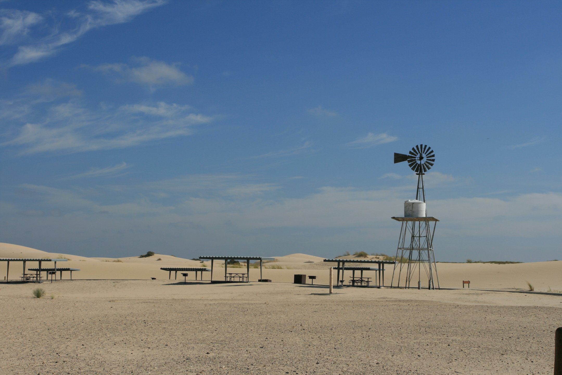
Monahans, Texas
A windmill at the Monahan sandhills in Monahans, Texas.
Photograph Credit: Robert Plocheck.
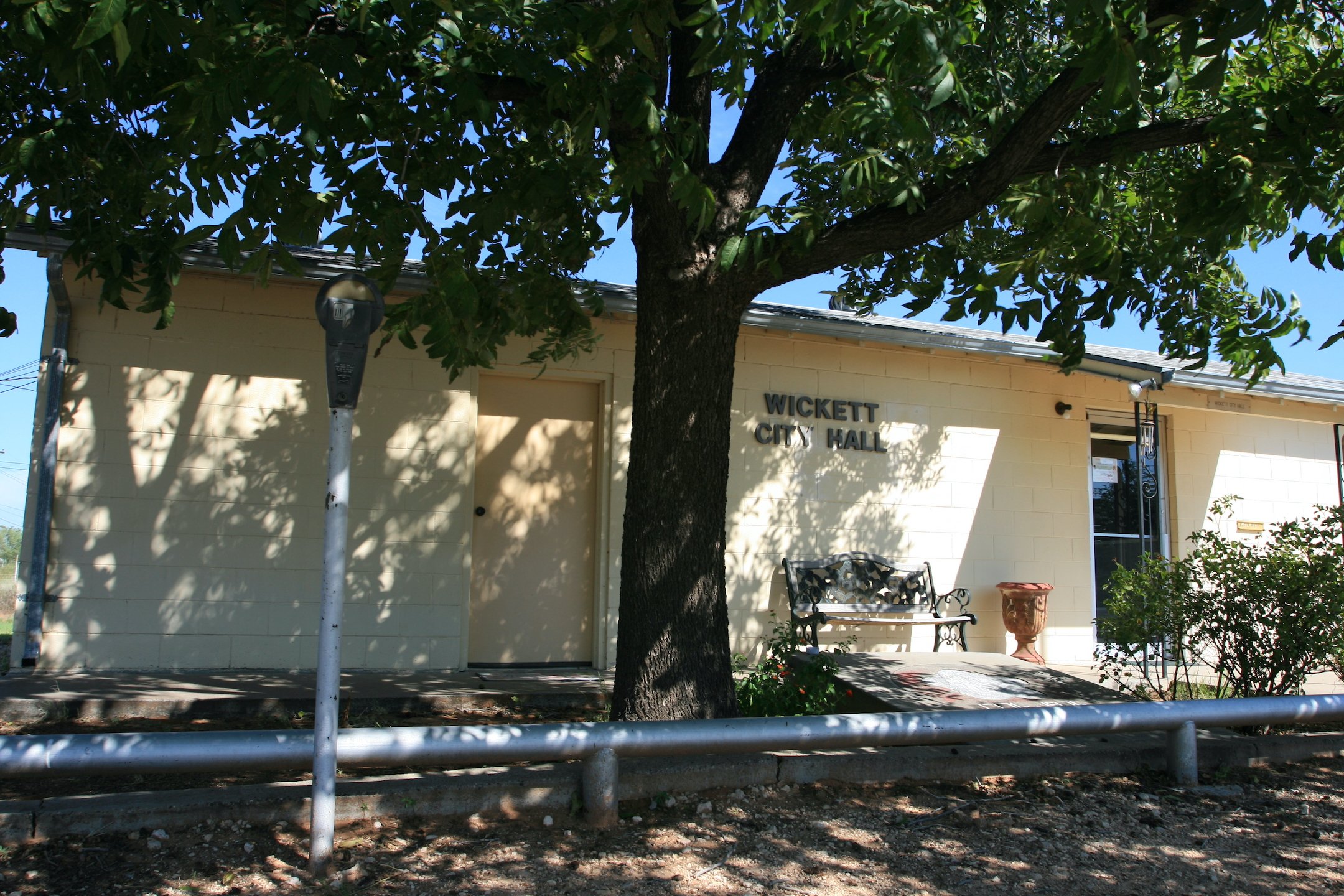
Wickett, Texas
Wickett City Hall in the town of Wickett, in Ward County, Texas.
Photograph Credit: Robert Plocheck.
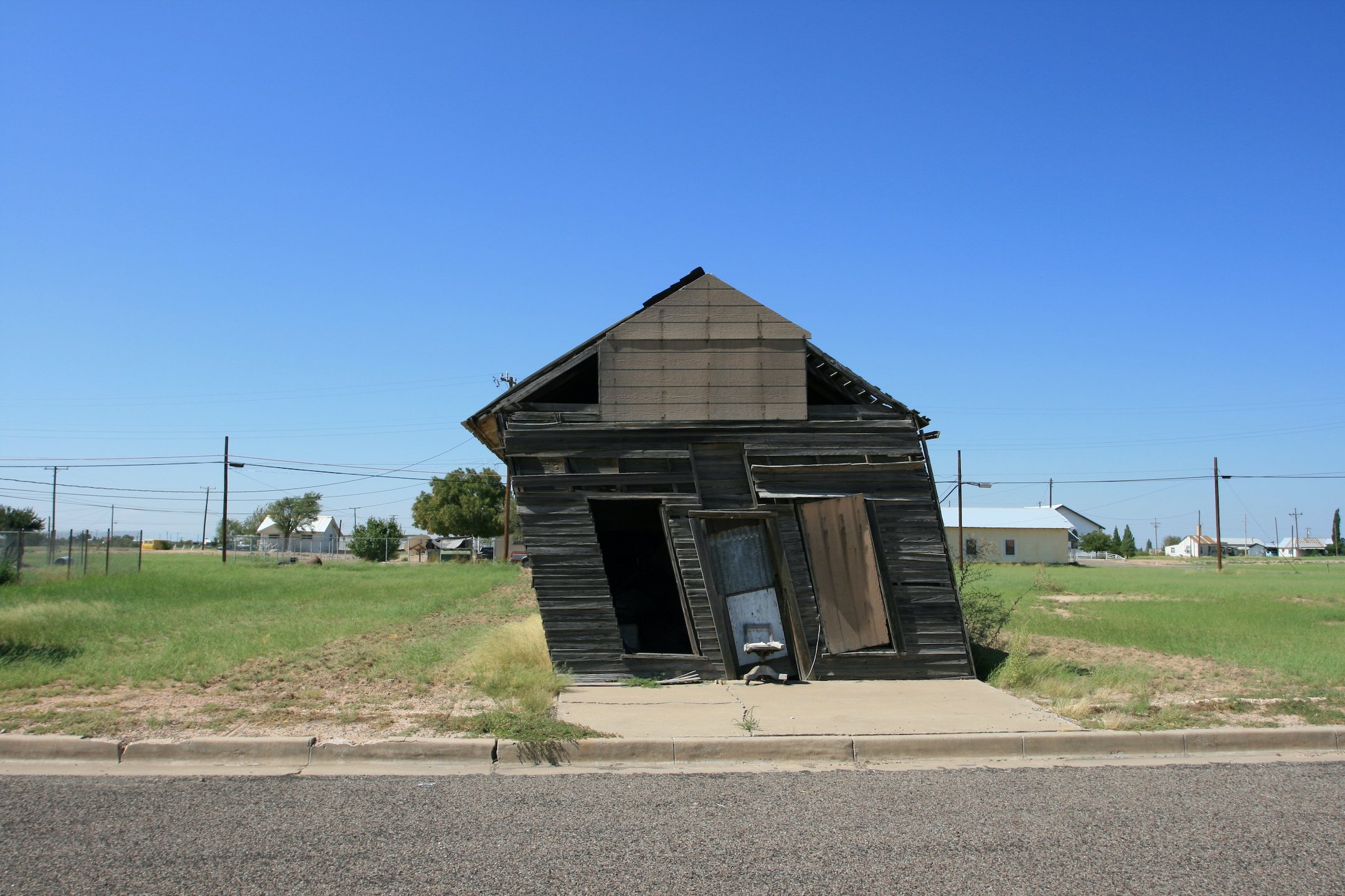
Barstow, Texas
Leaning store in Barstow, Texas in Ward County.
Photograph Credit: Robert Plocheck.

Proud to call Texas home?
Put your name on the town, county, or lake of your choice.
Search Places »
