Wayside
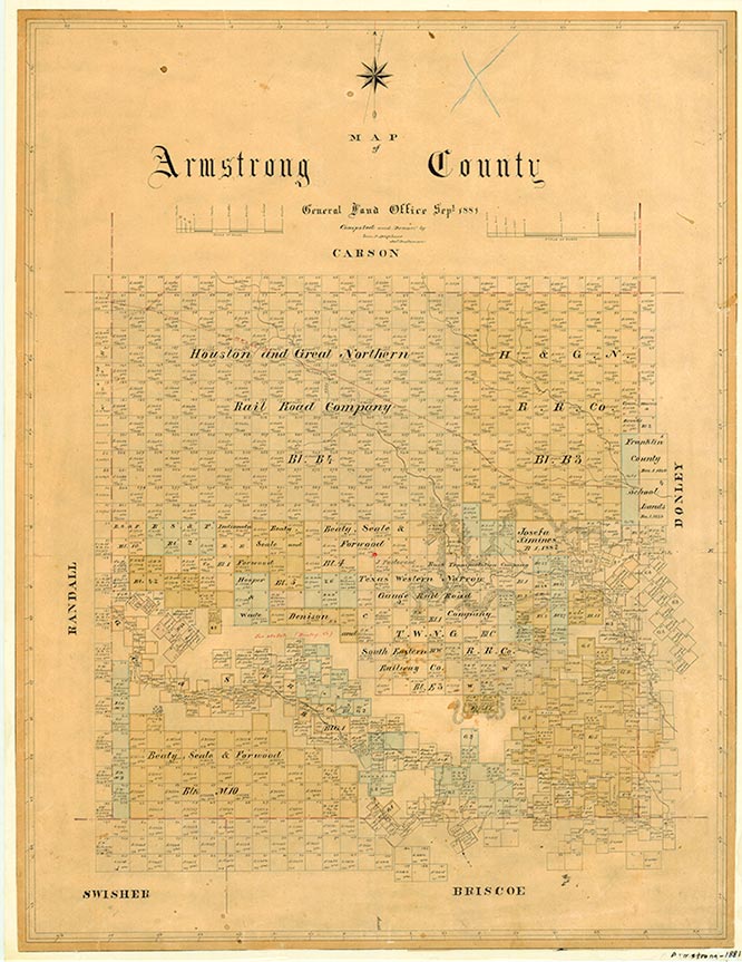
Wayside, on Ranch Road 285 south of Palo Duro Canyon four miles east of the Randall county line and three miles north of the Swisher county line in the southwest corner of Armstrong County, was founded as a rural school district in 1893. Originally it was named Beulah for one of the daughters of the McSpadden family, who donated the land for the school. However, Mrs. Hervey J. Bradford named the place Wayside, for its location on the "way-side" of the canyon, when she opened a post office in September 1897. The first White settlers in this area were cowhands of the JA Ranch who had line camps along the canyon's south rim. In 1891 a road had been surveyed to the townsite and was used for moving cattle and ranch outfits across the canyon. Wayside has managed to survive as a retail supply point for a stock raising and irrigated farming area. In 1940 it had a consolidated high school, two stores, and a population of forty. A 1948 Department of Highways map indicated three businesses, a school, and cemetery at the site. In 1967 the community had a population of 100 and three businesses, but in 1969 the population was thirty-six. From 1970 to 1990 the population was given as forty. In 1991 Wayside had one business. Indian relics dating from the fifteenth century have recently been found near Wayside. In 2000 the population was thirty-five.
H. Allen Anderson | © TSHA
Adapted from the official Handbook of Texas, a state encyclopedia developed by Texas State Historical Association (TSHA). It is an authoritative source of trusted historical records.
- ✅ Adoption Status:
Belongs to
Wayside is part of or belongs to the following places:
Currently Exists
Yes
Place type
Wayside is classified as a Town
Associated Names
- (Beulah)
Location
Latitude: 34.79283400Longitude: -101.54712010
Has Post Office
No
Is Incorporated
No
Population Count, 2014
25