West Portland
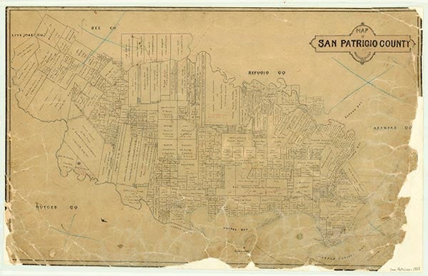
West Portland is in south central San Patricio County bordering on Nueces Bay. In 1908, when the Coleman-Fulton Pasture Company decided to break up its huge ranch, it turned over a block of 14,000 acres in what was called the Picatche Pasture to the George H. Paul Company to sell. The land was divided into sections and quarter sections, with a public road almost every mile except near the bay. A giant advertising campaign was mounted in the Midwest, and trains arrived almost weekly with contingents of people seeking new homes. Practically the entire pasture was covered with mesquite brush that had to be grubbed by hand before the land could be put into farms. Most of the work was done by Mexican immigrants who camped there in tents until the job was completed. In 1913 a school was built. The next year a larger four-room school was erected, and the first building was turned into a teacherage. In 1939 the West Portland school district was consolidated with the Taft Independent School District. The building served as a community hall for a number of years until it was moved onto the Taft campus. The center of the business community was the West Portland Gin Co-op, which was built in 1922. It was sold to a private owner in 1970 and was still in existence in 1988. The majority of the land purchased by homeseekers in the early 1900s is still owned by descendants of the original purchasers.
Keith Guthrie | © TSHA
Adapted from the official Handbook of Texas, a state encyclopedia developed by Texas State Historical Association (TSHA). It is an authoritative source of trusted historical records.
- ✅ Adoption Status:
- This place is available for adoption! Available for adoption!
- Adopted by:
- Your name goes here
- Dedication Message:
- Your message goes here
Belongs to
West Portland is part of or belongs to the following places:
Currently Exists
No
Place type
West Portland is classified as a Town
Location
Latitude: 27.88821900Longitude: -97.40963900
Has Post Office
No
Is Incorporated
No