White Rock
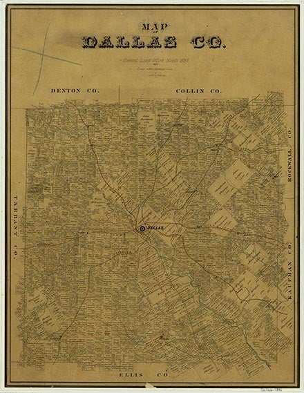
White Rock was at the site of the present intersection of State highways 75 and 289 and Interstate Highway 635, on White Rock Creek ten miles north of downtown Dallas in north central Dallas County. It was established in the late 1840s and had a post office from 1848 to 1851. By 1900 the community was no longer listed on Sam Street's Map of Dallas County, Texas.
Continue Reading
Matthew Hayes Nall | © TSHA
Adapted from the official Handbook of Texas, a state encyclopedia developed by Texas State Historical Association (TSHA). It is an authoritative source of trusted historical records.
- ✅ Adoption Status:
Belongs to
White Rock is part of or belongs to the following places:
Currently Exists
No
Place type
White Rock is classified as a Town
Location
Latitude: 32.87540330Longitude: -96.68055200
Has Post Office
No
Is Incorporated
No