Wiggins
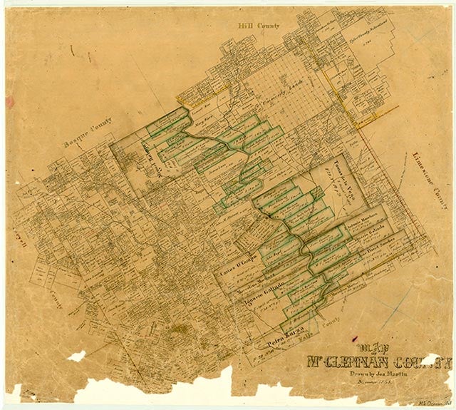
Tokio, also called Wiggins, is at the intersection of Farm roads 1858 and 3149, five miles southwest of West in northern McLennan County. Joseph Thomas Rogers purchased 1,200 acres in the area in 1868. Tokio became a rail stop in 1882, when the Texas Central Railroad was building its track between Ross and Albany. In 1910 the community had a gin, a store, and twenty-five residents. During World War II the name of the community was changed to Wiggins. In the 1940s it had a school, a church, a few businesses and residences, and a population of twenty-eight. The school was consolidated with the West Independent School District in 1945. A church and several scattered houses were shown on topographic maps of the area from the 1950s through the 1970s. Though Wiggins was the official name of the community for many years after the end of World War II, the old name for the town eventually came back into local usage. The name Tokio replaced Wiggins on the community list in the Texas Almanac in the late 1980s, but a recent population estimate was not available.
Vivian Elizabeth Smyrl | © TSHA
Adapted from the official Handbook of Texas, a state encyclopedia developed by Texas State Historical Association (TSHA). It is an authoritative source of trusted historical records.
- ✅ Adoption Status:
- This place is available for adoption! Available for adoption!
- Adopted by:
- Your name goes here
- Dedication Message:
- Your message goes here
Belongs to
Wiggins is part of or belongs to the following places:
Currently Exists
No
Place type
Wiggins is classified as a Town
Associated Names
- (Tokio)
Location
Latitude: 31.76127290Longitude: -97.15806030
Has Post Office
No
Is Incorporated
No