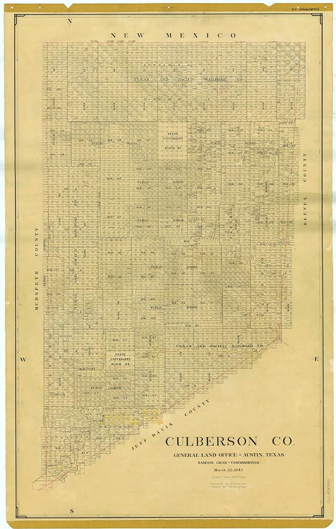
Wild Horse
Wild Horse is on the Missouri Pacific Railroad and Interstate Highway 10, eight miles east of Van Horn in southwestern Culberson County. It was named for nearby Wild Horse Creek. The earliest population figure for Wild Horse is from the early 1960s, when an estimated thirty-four people lived within a radius of four miles. From the late 1960s to 1990 the population estimate was thirty-five.
Martin Donell Kohout | © TSHA

Adapted from the official Handbook of Texas, a state encyclopedia developed by Texas State Historical Association (TSHA). It is an authoritative source of trusted historical records.

- ✅ Adoption Status:
Belongs to
Wild Horse is part of or belongs to the following places:
Currently Exists
No
Place type
Wild Horse is classified as a Town
Location
Latitude: 31.05263330Longitude: -104.68520960
Has Post Office
No
Is Incorporated
No

